
Population 864 (2006 census) LGA(s) City of Latrobe Local time Monday 11:34 PM | Postcode(s) 3844 Postal code 3844 | |
 | ||
Location 158 km (98 mi) E of Melbourne10 km (6 mi) N of Traralgon Weather 13°C, Wind W at 10 km/h, 90% Humidity | ||
Tyers is a small town in Victoria, Australia. It is 158 kilometres (98 mi) east of Melbourne, 10 kilometres (6 mi) north-west of Traralgon and located in the City of Latrobe. It was known until 1852 as "Boola Boola", after which it was named after the surveyor and explorer Charles Tyers. At the 2006 census, Tyers had a population of 864.
Contents
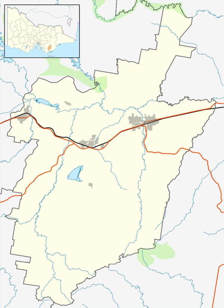
Map of Tyers VIC 3844, Australia
Tyers Post Office opened on 11 September 1882 and is now owned by United Fuels.
The town in conjunction with neighbouring Traralgon has an Australian Rules football team Traralgon-Tyers United competing in the North Gippsland Football League.
The Tyers Arts Festival is an annual event.
Places to Visit
TYERS LOOKOUT
Tyers Lookout is on the Walhalla-Tyers Road (C481) and is a couple kilometres from the township on your left. It overlooks the Latrobe Valley and is a beautiful spot for a date or family picnic, and is absolutely stunning at sunrise and sunset.
PETERSON'S LOOKOUT
Peterson's Lookout is short walk to the lookout overlooking the Tyers River Gorge and is a few kilometres further up on Walhalla-Tyers Road (C481). It is 6km north of the Tyers township. Make sure to keep an eye out for the brown-coloured sign on your left (just before the W2 track). This walk can also be started at the W2 track where there’s signage and a trail. This is an extra 2km (or 4km return) walk, and is certified as a Heart Foundation Walk. Photos are available at this link.