
Location Antarctica Width 5 km (3.1 mi) Population Uninhabited | Length 9.4 km (5.84 mi) Highest elevation 670 m (2,200 ft) Elevation 670 m | |
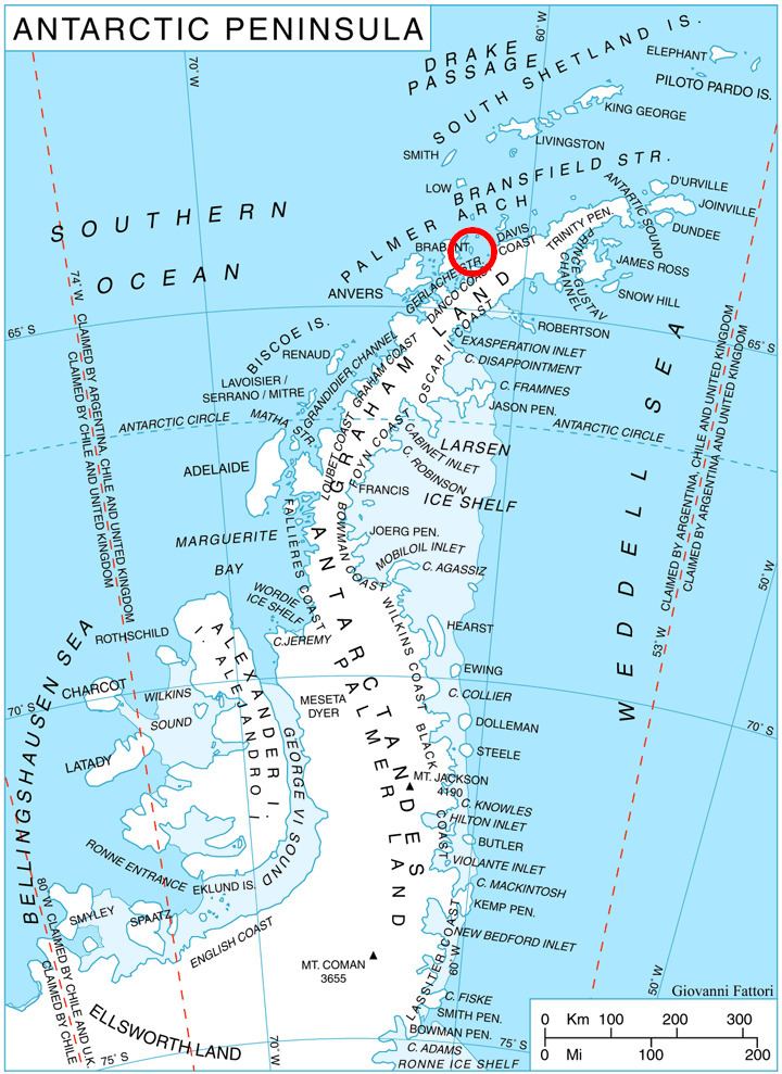 | ||
Two Hummock Island is an ice-covered island, 9.4 kilometres (6 mi) long in a north-south direction, conspicuous for its two rocky summits Buache Peak and Modev Peak 670 metres (2,198 feet) high, lying 9.6 kilometres (6.0 miles) southeast of Liège Island and 11.5 kilometres (7.1 miles) east of Brabant Island in the Palmer Archipelago. This name has appeared on maps for over 100 years and its usage has become established internationally.
Contents
Map of Two Hummock Island, Antarctica
Maps
References
Two Hummock Island Wikipedia(Text) CC BY-SA