
 | ||
Tuorda Peak (65°59′S 65°10′W) is a peak, 870 m, rising eastward of Ferin Head on Velingrad Peninsula, the west coast of Graham Land, Antarctica. Photographed by Hunting Aerosurveys Ltd. in 1956-57, and mapped from these photos by the Falkland Islands Dependencies Survey (FIDS). Named by the United Kingdom Antarctic Place-Names Committee (UK-APC) in 1959 for Pava L. Tuorda, a Jokkmokk Lapp who, with Anders Rossa, accompanied A.E. Nordenskjold to Greenland in 1883 and first demonstrated the possibilities of skis for polar travel.
Contents
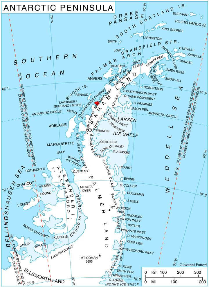
Map of Tuorda Peak, Antarctica
Maps
References
Tuorda Peak Wikipedia(Text) CC BY-SA