
Basin countries Russia Max. width 58 km (36 mi) | Max. length 80.5 km (50.0 mi) Area 1,800 km² | |
 | ||
River sources Tugur River, Karol River | ||
Tugur Bay or Tugursky Bay (Russian: тугурский залив, Tugursky Zaliv) is a large bay in the Tuguro-Chumikansky District of Khabarovsk Krai, Russian Federation.
Contents
Map of Tugurskiy zal., Russia, 682564
Geography
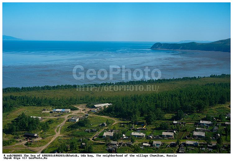
Tugur Bay is located in the northwestern Sea of Okhotsk, just south of the Shantar Islands. It is entered between Seneka Point and Cape Bol'shoy Dugandzha, nearly 58 km (about 36 mi) to the west-northwest. It narrows to about 19.3 km (12 mi) midway and is about 80.5 km (50 mi) deep in a south-southwesterly direction, with a depth of 25 m. The Tugur River runs into its head. The east and south side of the bay is thickly wooded.
Mamga Bay is a branch of Tugur Bay located on the northwestern side of the bay.
There is ice in the bay from the end of October or the middle of November to june or July. Spring tides rise 4.5 to 5.5 m (14.75 to 18 ft) in the northern part of the bay and up to 6.4 m (21 ft) in the southern part. Tidal currents can reach up to four knots in the northern part of Tugur Bay, causing whirlpools and eddies. The bay is 18 to 37 m (59 to 121.4 ft) deep at its entrance, but shoals to less than 3.6 m (11.8 ft) at its head.
History
American, French, and Russian whaleships frequented the bay hunting bowhead whales between 1854 and 1874. They called it Shantar Bay. Some traded with the natives for salmon. On 28 July 1854, the bark Isabella, of New Bedford, reported that as many as 94 ships were visible from her deck, only five of which were boiling oil. Several ships were wrecked in the bay. On 12 July 1854, the ship Silas Richards (454 tons), of New Bedford, Capt. Wilcox, was driven ashore by ice and wrecked on the southwest side of the bay. She was sold on the beach for $194. In June 1856, the brig Tarquina (210 tons), of Honolulu, was also stove by ice and lost, while the bark Columbus (344 tons), of New London, was wrecked in the bay on 10 August 1858. On 27 July 1867, a Russian steamer ordered the bark Java, of New Bedford, under Manuel Enos, out of the bay. A few days later the bark Endeavor, also of New Bedford, had its boats fired upon by the same vessel before being ordered away as well.
Two whaling stations were also established in the bay to catch bowheads. The first was built in 1862 by the Russian-American Company on the southeastern point of Mamga Bay. In 1865, they sold it to Otto Wilhelm Lindholm, who had erected a station on the eastern side of the mouth of the Tugur River at the head of the bay two years earlier, in 1863. Both stations either utilized one or two schooners or boat crews provisioned for a fortnight at a time to cruise for whales in Tugur Bay or adjacent bays. The Tugur station was last used in 1870, while Mamga was used as a base for whaling until 1876. American whaleships visited Mamga to sell goods and receive repairs from ice damage.
Currently there is a project to build a tidal power station in Tugur Bay.
Wildlife
Bowhead whales, once abundant, are now rare in Tugur Bay. In the summer beluga whales aggregate at the head of the bay to feed on spawning salmon in the Tugur River estuary. Waders use the intertidal area at the head of the bay as a stopover during their summer-fall migration. The two most abundant species are Great knot and Terek sandpiper.