
- Tree Sakura Population 48,807 (Sep 2015) Bird Eurasian skylark | Region Kantō - Flower Brassica napus Area 79.16 km² Local time Sunday 11:35 AM | |
 | ||
Weather 6°C, Wind E at 11 km/h, 83% Humidity Points of interest Fukuoka Dam, Kinunodaisakura Park, Mirainomori Park, Miraidairasakura Park, Cenotaph for Second Lieutena | ||
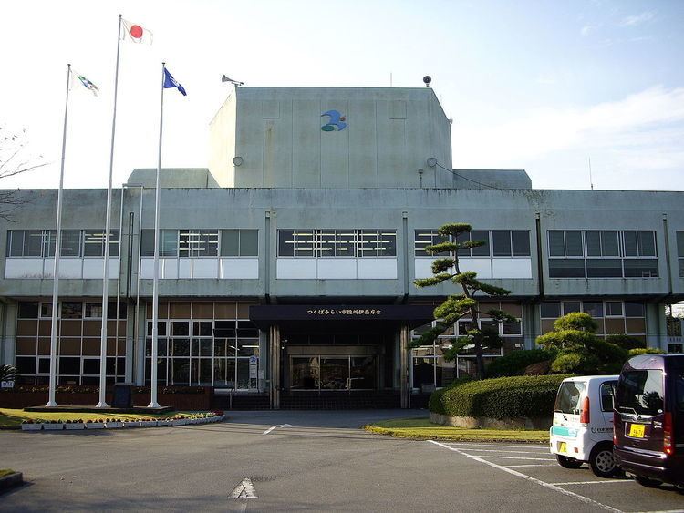
Tsukubamirai (つくばみらい市, Tsukubamirai-shi) is a city located in Ibaraki Prefecture, in the northern Kantō region of Japan. As of September 2015, the city had an estimated population of 48,807 and a population density of 617 persons per km². Its total area was 79.16 square kilometres (30.56 sq mi).
Contents
- Map of Tsukubamirai Ibaraki Prefecture Japan
- Geography
- Surrounding municipalities
- History
- Education
- Railway
- Highway
- Local attractions
- References
Map of Tsukubamirai, Ibaraki Prefecture, Japan
Geography
Tsukubamirai is located in southern Ibaraki Prefecture, in the low-lying marshy flatlands south of Lake Kasumigaura. It is about 40 kilometers from central Tokyo.
Surrounding municipalities
History
The city of Tsukubamirai was established on March 27, 2006, from the merger of the town of Ina, and the village of Yawara (both from Tsukuba District).
Education
Tsukubamirai has 11 elementary schools, four middle schools, and one high school.
Railway
Highway
Local attractions
References
Tsukubamirai, Ibaraki Wikipedia(Text) CC BY-SA