 | ||
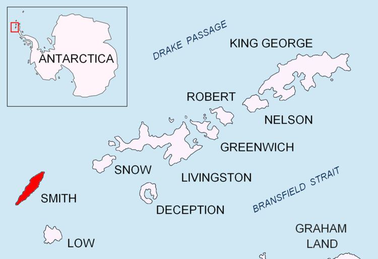
Tsarigrad Peak (Bulgarian: Връх Цариград, ‘Vrah Tsarigrad’ \'vr&h 'tsa-ri-grad) is sharp ice-covered peak rising to 1760 m in Imeon Range, Smith Island in the South Shetland Islands, Antarctica. Overlooking Armira Glacier to the southeast.
Contents
Map of Tsarigrad Peak, Antarctica
The peak is named after the 1876 Constantinople Conference (Tsarigrad is the Bulgarian name for Constantinople) of the Great Powers that determined the Bulgarian ethnic borders as of the second half of the 19th century.
Location
Tsarigrad Peak is located at 63°00′53″S 62°34′42″W, which is 2.5 km southwest of the island’s summit Mount Foster, 550 m south of Slaveykov Peak and 600 m northeast of Neofit Peak. Bulgarian mapping in 2009.
Map
References
Tsarigrad Peak Wikipedia(Text) CC BY-SA
