
GNIS feature ID 0453903 Area 114.8 km² Population 11,965 (2010) | ZIP codes 47520, 47586, 47588 Elevation 158 m Local time Saturday 10:46 AM | |
 | ||
Weather 21°C, Wind S at 23 km/h, 54% Humidity | ||
Troy Township is one of seven townships in Perry County, Indiana, United States. As of the 2010 census, its population was 11,965 and it contained 5,746 housing units (almost two thirds of the overall county population).
Contents
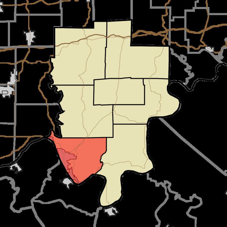
- Map of Troy Township IN USA
- Geography
- Cities towns villages
- Unincorporated towns
- Cemeteries
- Major highways
- Lakes
- School districts
- Political districts
- References
Map of Troy Township, IN, USA
Geography
According to the 2010 census, the township has a total area of 44.31 square miles (114.8 km2), of which 43.04 square miles (111.5 km2) (or 97.13%) is land and 1.27 square miles (3.3 km2) (or 2.87%) is water.
Cities, towns, villages
Unincorporated towns
(This list is based on USGS data and may include former settlements.)
Cemeteries
The township contains these seven cemeteries: Bolin, Cliff, Greenwood, Log Church, Powell, Saint Michaels and Saint Pius.
Major highways
Lakes
School districts
Political districts
References
Troy Township, Perry County, Indiana Wikipedia(Text) CC BY-SA