
Country United States FIPS code 51-79472 Elevation 424 m Zip code 24175 Local time Saturday 11:14 AM | Time zone Eastern (EST) (UTC-5) GNIS feature ID 1493720 Area 230 ha Population 427 (2013) Area code 540 | |
 | ||
Weather 18°C, Wind SW at 13 km/h, 54% Humidity | ||
Troutville is a town in Botetourt County, Virginia, United States. The population was 431 at the 2010 census. It is part of the Roanoke Metropolitan Statistical Area.
Contents
Map of Troutville, VA 24175, USA
History
The town of Troutville was established in 1956. As of 1881, this area had no name. The railroad passed through and a station was built. There were three houses then which were occupied by the brothers John, Jim, and George Trout, thus the area was called Troutsville. It became an important shipping center in the 1890s. In 1895, Troutsville was a thriving town with an active shipping point, farming, canneries, packing houses and factories. The name of the town was later changed to Troutville.
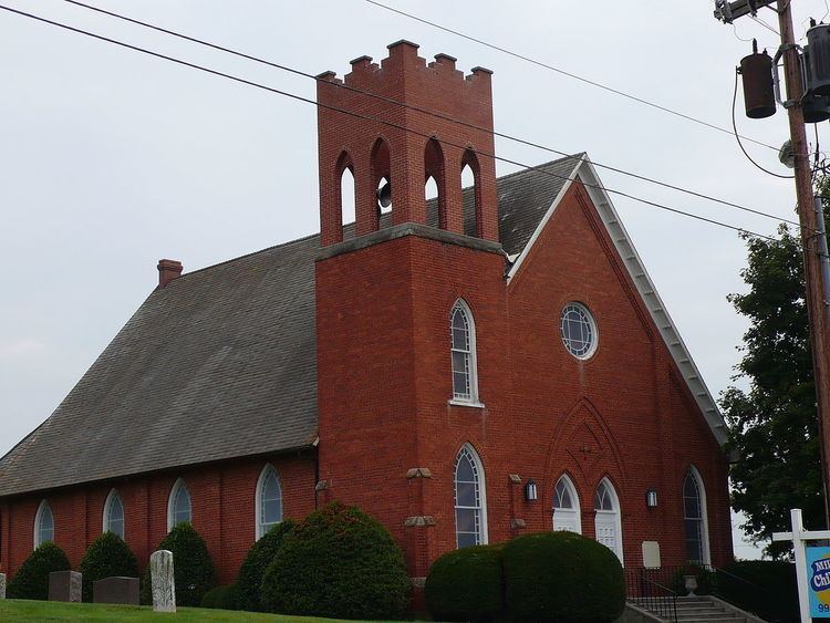
The Thomas D. Kinzie House and Bryan McDonald Jr. House are listed on the National Register of Historic Places.
Geography
Troutville is located at 37°24′55″N 79°52′37″W (37.415406, -79.876967).
According to the United States Census Bureau, the town has a total area of 0.9 square mile (2.3 km2), all land.
Demographics
As of the census of 2010, there were 431 people, 194 households, and 126 families residing in the town. The population density was 478.9 people per square mile (187.4/km2). There were 226 housing units at an average density of 251.1 per square mile (98.3/km2). The racial makeup of the town was 94.9% White, 1.2% African American, 0.2% Native American, 0.2% Asian, 0.9% from other races, and 2.6% from two or more races. Hispanic or Latino of any race were 2.6% of the population.
There were 194 households out of which 25.8% had children under the age of 18 living with them, 49.5% were married couples living together, 12.4% had a female householder with no husband present, and 35.1% were non-families. 29.4% of all households were made up of individuals and 8.8% had someone living alone who was 65 years of age or older. The average household size was 2.22 and the average family size was 2.74.
In the town, the population was spread out with 21.3% under the age of 18, 7.6% from 18 to 24, 24.6% from 25 to 44, 26.9% from 45 to 64, and 19.7% who were 65 years of age or older. The median age was 41.8 years. For every 100 females there were 103.3 males. For every 100 females age 18 and over, there were 98.2 males.
The median income for a household in the town was $55,341, and the median income for a family was $56,379. Males had a median income of $50,917 versus $34,250 for females. The per capita income for the town was $24,630. About 5.0% of families and 5.2% of the population were below the poverty line, including 16.0% of those under age 18 and none of those age 65 or over.