
Topo map USGS Tenaya Lake Prominence 268 m | Elevation 3,237 m | |
 | ||
Mountain range Sierra Nevada, Cathedral Range Similar Tenaya Peak, Medlicott Dome, Pywiack Dome, Clouds Rest, Polly Dome | ||
On the approach to tresidder peak and our first view of finger eleven yosemite 2010
Tresidder Peak is a mountain in Yosemite National Park, California. The mountain has two summits (peaks or arêtes), about half a mile (800 meters) apart, with the southern peak being the highest. The elevation of the south peak has not been exactly determined but is given as between 10,605 feet (3,232 m) and 10,645 feet (3,245 m). The northern peak is identified on maps as Peak 10,450 and has an elevation of 10,450 feet (3,185 m). It is the line parent of Clouds Rest. It is named for Donald Tresidder, a former president of Stanford University who had a longtime association with Yosemite National Park.
Contents
- On the approach to tresidder peak and our first view of finger eleven yosemite 2010
- Map of Tresidder Peak California USA
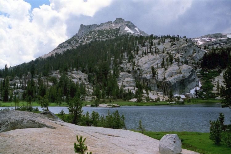
- Cathedral peak tresidder peak from upper cathedral lake
- References
Map of Tresidder Peak, California, USA
Cathedral peak tresidder peak from upper cathedral lake
References
Tresidder Peak Wikipedia(Text) CC BY-SA