
Prominence 1,086 ft (331 m) Topo map USGS Tenaya Lake Mountain range Sierra Nevada | Parent range Sierra Nevada Easiest route class 3 scrambling | |
 | ||
Elevation 9,665 ft (2,946 m) NAVD 88 Similar Pywiack Dome, Polly Dome, Tenaya Peak, Fairview Dome, Tresidder Peak | ||
Medlicott Dome is a prominent granite dome in Yosemite high country. It is located on the southeast side of Tioga Road, between Mariolumne Dome and Dozier Dome, not too far from Pywiack Dome, Cathedral lakes and Fairview Dome. Popular with climbers, hikers and backpackers due to short approach, easy scrambling and great views.
Contents
Map of Medlicott Dome, California, USA
Climbing
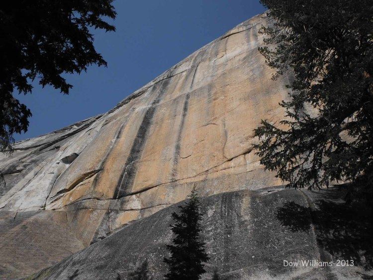
Medlicott Dome has a large number of climbing routes, most of which are bolted faces with occasional cracks and offwidths. Among them are such classics as:
Etymology
The dome was named after Henry P. Medlicott who in 1882, with H. B. Carpenter surveyed Great Sierra Wagon Road aka. Tioga Road through Yosemite. Henry P. Medlicott was a judge and US Deputy Mineral Surveyor from Lundy, California. Original name of the peak recorded in 1870 was Court House Rock. In 1882 a mining publication referred to it as Mount Medlicott. Present name was first recorded in 1883 and the name first appeared on a quadrangle map in 1956.