
 | ||
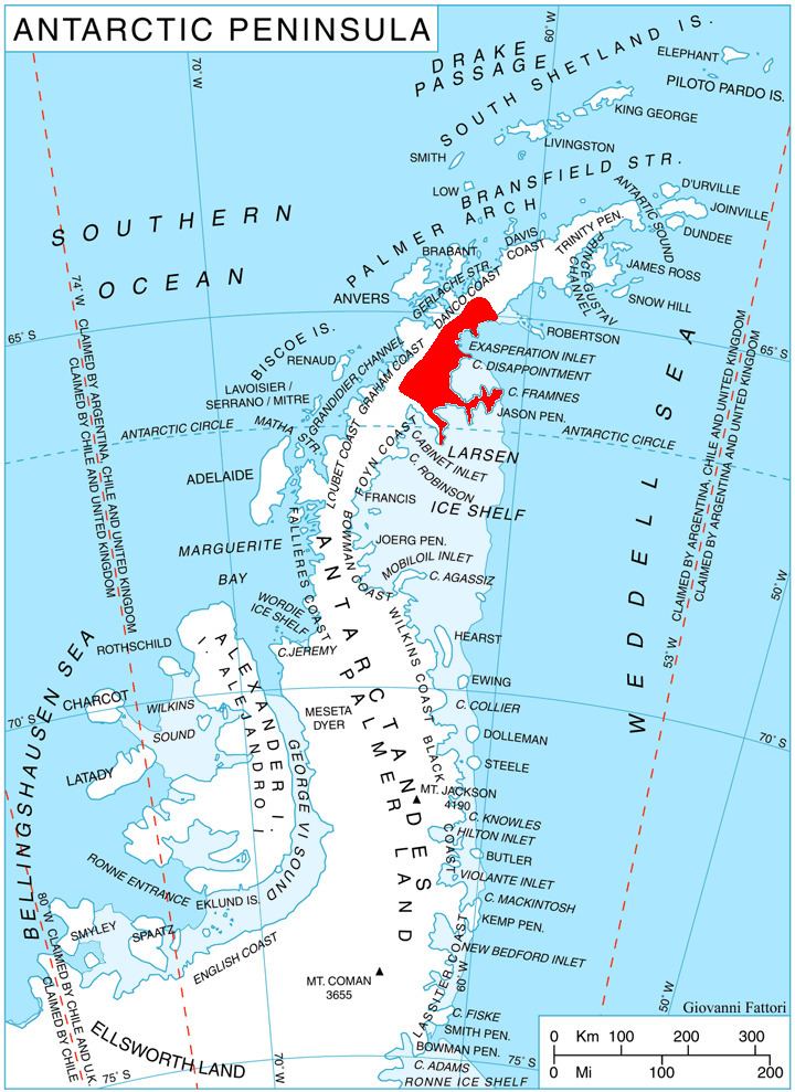
Travnik Buttress (Bulgarian: рид Травник, ‘Rid Travnik’ \'rid 'trav-nik) is the broad ice-covered buttress rising to 1600 m in the southeast foothills of Forbidden Plateau, and linked to the east to Rugate Ridge on Oscar II Coast in Graham Land. It is situated between the upper cources of Green Glacier and Evans Glacier, and has precipitous, and partly ice-free northwest, northeast and southeast slopes. The feature is named after the settlement of Travnik in Northeastern Bulgaria.
Contents
Map of Travnik Buttress, Antarctica
Location
Travnik Buttress is located at 65°02′11″S 62°08′19″W, which is 4.5 km west-northwest of Mount Bistre, 16.95 km west-southwest of Pirne Peak, and 7.85 km northwest of Vishna Pass. British mapping in 1976.
Maps
References
Travnik Buttress Wikipedia(Text) CC BY-SA