
 | ||
Pirne Peak (Bulgarian: връх Пирне, ‘Vrah Pirne’ \'vr&h pir-'ne) is the rocky peak rising to 600 m on the coast of Vaughan Inlet, at the northeast extremity of Rugate Ridge on Oscar II Coast in Graham Land. It surmounts Green Glacier to the northwest and Musina Glacier to the southwest. The feature is named after the settlement of Pirne in Southeastern Bulgaria.
Contents
Map of Pirne Peak, Antarctica
Location
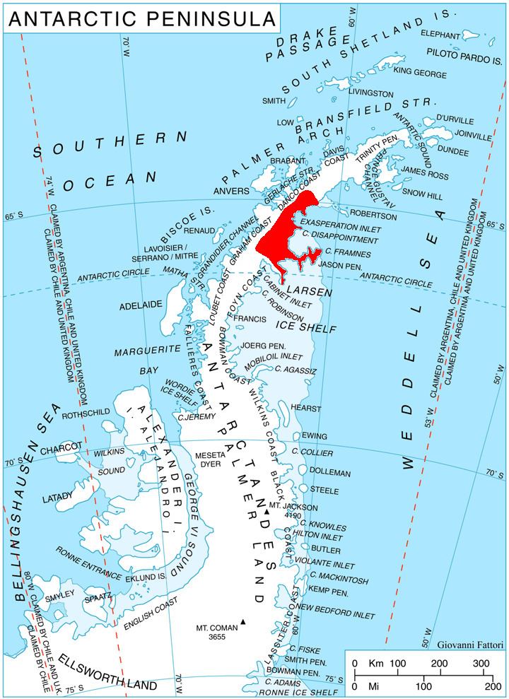
Pirne Peak is located at 64°59′38″S 61°47′40″W, which is 13.7 km northeast of Mount Bistre, 13.18 km south of Sekirna Spur, 13.4 km west of Mural Nunatak, and 18 km northwest of Whiteside Hill. British mapping in 1978.
Maps
References
Pirne Peak Wikipedia(Text) CC BY-SA