Airport type Public Elevation AMSL 3,649 ft / 1,112 m 5,098 1,554 Elevation 1,112 m Serves Amarillo | Owner Tradewind LLC 17/35 5,098 1,554 Asphalt Phone +1 806-376-1008 | |
 | ||
Address 4105 Tradewind St, Amarillo, TX 79118, USA Similar Tradewind Elementary School, 6th Street Massacre Haunted, Tradewind Flight School Inc, The NAT Antiques & Collectibl, Landergin Elementary School | ||
Taking off and landing ktdw amarillo s tradewind airport
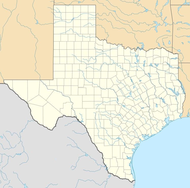
Tradewind Airport (IATA: TDW, ICAO: KTDW, FAA LID: TDW) is a privately owned public use airport in Randall County, Texas, United States. It is located three nautical miles (3.5 mi, 5.6 km) southeast of the central business district of Amarillo, Texas.
Contents
- Taking off and landing ktdw amarillo s tradewind airport
- Landing at tradewind airport amarillo
- Facilities and aircraft
- References
Landing at tradewind airport amarillo
Facilities and aircraft
Tradewind Airport covers an area of 595 acres (241 ha) at an elevation of 3,649 feet (1,112 m) above mean sea level. It has two asphalt paved runways: 17/35 is 5,098 by 60 feet (1,554 x 18 m) and 5/23 is 3,000 by 60 feet (914 x 18 m). It also has one helipad with a 50 by 50 feet (15 x 15 m) asphalt surface.
For the 12-month period ending June 22, 2009, the airport had 32,790 aircraft operations, an average of 89 per day: 99.9% general aviation and 0.1% military. At that time there were 95 aircraft based at this airport: 84% single-engine, 13% multi-engine, 2% jet and 1% helicopter.
