Time zone CET (UTC+1) Local time Monday 3:25 PM Mayor Daniel Degardin | Area 11.81 km² Population 231 (1999) | |
 | ||
Intercommunality Communauté de communes de l'Hesdinois Weather 17°C, Wind W at 10 km/h, 54% Humidity | ||
Tortefontaine is a commune in the Pas-de-Calais department in the Hauts-de-France region of France.
Contents
Map of Tortefontaine, France
Geography
Tortefontaine lies southwest of Hesdin, on the D136 road with the Varnette, a small tributary of the Authie flowing through it.
Etymology
The name translates as twisted fountain.
Population
The inhabitants are called Tortefontainois.
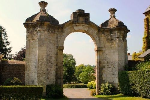
Places and monuments
References
Tortefontaine Wikipedia(Text) CC BY-SA
