
Population 4,899 (2013) | Southeast (Hauraki Gulf) | |
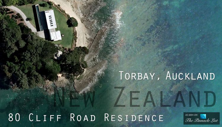 | ||
Torbay is an Auckland suburb.
Contents
Map of Torbay, Auckland, New Zealand
Torbay was under the local governance of the North Shore City Council but was amalgamated into the Auckland "Supercity" in 2010 and is governed by Auckland Council. The name Torbay comes from the area of the same name in the south east of Devon, England.
The population was 4,899 in the 2013 Census,
Attractions in the area include Long Bay Regional Park which attracts over a million visitors each year. There are also a number of smaller public beaches (Waiake, Torbay beach, Winstone's Cove, Ladder Bay), which are highly accessible and utilised both for swimming, and mooring small yachts.
Education
Torbay School is a coeducational contributing primary (years 1-6) school with a decile rating of 10 and a roll of 443. It was established in 1954. The school has a close relationship with the local community, and in some ways is unique in that a number of parents, and some current teachers, were once students at the school.