
Main source Čergov mountains Basin size 1,544 km (596 sq mi) | Length 130 km | |
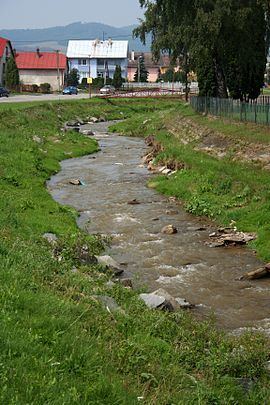 | ||
Topľa (Hungarian: Tapoly, German: Töpl) is a river in eastern Slovakia and right tributary of the Ondava. It is 129.8 km long and its basin covers an area of 1,544 km2 (596 sq mi). It rises in the Čergov mountains, flows through Ondava Highlands, Beskidian Piedmont, Eastern Slovak Hills and Eastern Slovak Flat and flows into the Ondava in the cadastral area of Parchovany. It flows through the towns of Bardejov, Giraltovce, Hanušovce nad Topľou and Vranov nad Topľou.
Map of Top%C4%BEa, Slovakia
References
Topľa Wikipedia(Text) CC BY-SA