
- left Someş, Criș, Mureș - elevation 2,020 m (6,627 ft) Discharge 792 m³/s Source Carpathian Mountains | - right Bodrog Length 965 km Basin area 156,087 km² Mouths Novi Sad, Danube | |
 | ||
- location Eastern Carpathians, Ukraine - location Downstream of Novi Sad, Serbia - average 820 m/s (28,958 cu ft/s) Cities Szeged, Khust, Rakhiv, Bečej, Sighetu Marmației, Tiszabecs Bridges Tiszavirág bridge, Tisza-híd, Ottoman bridge in Szolnok | ||
The Tisza or Tisa is one of the main rivers of Central Europe. Once, it was called "the most Hungarian river" because it flowed entirely within the Kingdom of Hungary. Today, it crosses several national borders.
Contents
- Map of Tisa
- NamesEdit
- RegulationEdit
- Lake TiszaEdit
- NavigationEdit
- WildlifeEdit
- PollutionEdit
- TributariesEdit
- Cities and townsEdit
- References
Map of Tisa
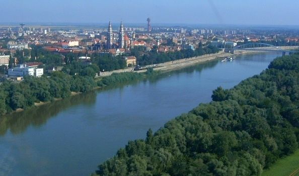
The Tisza begins near Rakhiv in Ukraine, at the confluence of the White Tisa and Black Tisa (the former springs in the Chornohora mountains; the latter in the Gorgany range). From there, the Tisza flows west, roughly following Ukraine's borders with Romania, then Hungary, and finally Serbia. It enters Hungary at Tiszabecs. It traverses Hungary from north to south. A few kilometers south of the Hungarian city of Szeged, it enters Serbia. Finally, it joins the Danube near the village of Novi Slankamen in Vojvodina, Serbia.
The Tisza drains an area of about 156,087 km2 (60,266 sq mi) and has a length of 965 km (600 mi)—the largest catchment and greatest length of any of the Danube's tributaries. Its mean annual discharge is 792 m3/s (28,000 cu ft/s). It contributes about 13% of the Danube's total runoff.
Attila the Hun is said to have been buried under a diverted section of the river Tisza.
NamesEdit
The river was known as the Tisia in antiquity; other ancient names for it included Tissus (in Latin) and Pathissus (Πάθισσος in Ancient Greek), (Pliny, Naturalis historia, 4.25). It may be referred to as the Theiss in older English references, after the German name for the river, Theiß. It is known as the Tibisco in Italian, and in older French references (as for instance in relation to the naval battles on the Danube between the Ottoman Empire and the Austro-Hungarian Empire in the 17th and 18th centuries) it is often referred to as the Tibisque.
Modern names for the Tisza in the languages of the countries it flows through include:
RegulationEdit
The length of the Tisza in Hungary used to be 1419 km. It flowed through the Great Hungarian Plain, which is one of the largest flat areas in central Europe. Since plains can cause a river to flow very slowly, the Tisza used to follow a path with many curves and turns, which led to many large floods in the area.
After several small-scale attempts, István Széchenyi organised the "regulation of the Tisza" (Hungarian: a Tisza szabályozása) which started on August 27, 1846, and substantially ended in 1880. The new length of the river in Hungary was 966 km (1358 km total), with 589 km of "dead channels" and 136 km of new riverbed.The resultant length of the flood-protected river comprises 2,940 km (out of 4,220 km of all Hungarian protected rivers).
Lake TiszaEdit
In the 1970s, the building of the Tisza Dam at Kisköre started with the purpose of helping to control floods as well as storing water for drought seasons. However, the resulting Lake Tisza became one of the most popular tourist destinations in Hungary since it had similar features to Lake Balaton at drastically cheaper prices and was not crowded.
NavigationEdit
The Tisza is navigable over much of its course. The river opened up for international navigation only recently; before, Hungary distinguished "national rivers" and "international rivers", indicating whether non-Hungarian vessels were allowed or not. After Hungary joined the European Union, this distinction was lifted and vessels were allowed on the Tisza.
Conditions of navigation differ with the circumstances: when the river is in flood, it is often unnavigable, just as it is at times of extreme drought.
WildlifeEdit
The Tisza has a rich and varied wildlife. Over 200 species of birds reside in the bird reserve of Tiszafűred. The flood plains along the river boast large amounts of diverse plant and animal life. In particular, the yearly "flowering" of the Tisza is considered a local natural wonder. The flowering attracts vast numbers of mayflies which is a well known spectacle.
PollutionEdit
In early 2000, there was a sequence of serious pollution incidents originating from accidental industrial discharges in Romania. The first, in January 2000, occurred when there was a release of sludge containing cyanide from a Romanian mine and killed 2000 tons of fish. The second, from a mine pond at Baia Borsa, northern Romania, resulted in the release of 20,000 cubic metres of sludge containing zinc, lead and copper occurred in early March 2000. A week later, the third spill occurred at the same mining site at Baia Borsa, staining the river black, possibly including heavy metals.
This series of incidents were described at the time as the most serious environmental disaster to hit central Europe since the Chernobyl disaster. Use of river water for any purpose was temporarily banned and the Hungarian government pressed the Romanians and the European Union to close all installations that could lead to further pollution.
Examination of river sediments indicates that pollution incidents from mines have occurred for over a century.
TributariesEdit
The following rivers are tributaries to the river Tisza:
Cities and townsEdit
The Tisza (Tisa) flows through the following countries and cities (ordered from the source to mouth):