
- left Mundic Creek | - elevation 705 m (2,313 ft) - elevation 215 m (705 ft) | |
 | ||
Similar Toorongo Falls Reserve, Murrindindi River, Wongungarra River, Steavenson River, Cumberland River | ||
The Toorongo River is a perennial river of the West Gippsland catchment, located in the West Gippsland region of the Australian state of Victoria.
Contents
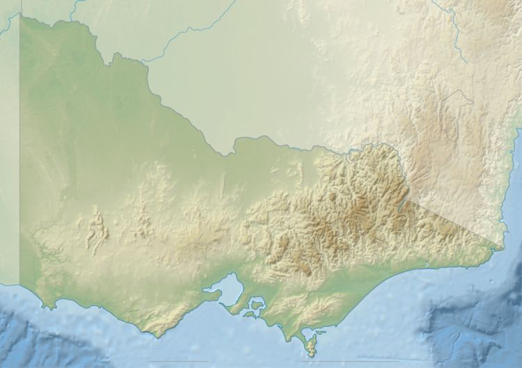
Map of Toorongo River, Victoria, Australia
Course and features
Toorongo River rises below Cone Hill within the Mount Toorongo Range, part of the Great Dividing Range, in remote country east northeast of Powelltown. The river flows generally south, joined by one minor tributary and is fed by drainage spilling over the Toorongo Falls, before reaching its confluence with the Latrobe River, near the Mount Baw Baw Road, north of the locality of Neerim North in the Shire of Baw Baw. The river descends 490 metres (1,610 ft) over its 12-kilometre (7.5 mi) course.
The Toorongo River sub-catchment area is managed by the West Gippsland Catchment Management Authority.
References
Toorongo River Wikipedia(Text) CC BY-SA