
Main source 6,900 feet (2,100 m) | Length 117 km | |
 | ||
River mouth Theodore Roosevelt Lake2,210 feet (670 m) | ||
Upper tonto creek campground tonto national forest arizona campsite photos
Tonto Creek is a 72.5-mile-long (116.7 km) stream located in the Mogollon Rim area of the state of Arizona on the north edge of the Tonto National Forest. The closest town, Payson, is 18 miles (29 km) away. Tonto Creek is a stream that flows year round, starting just below the Mogollon Rim, at the northern edge of Tonto National Forest. The creek continues its descent through the Hellsgate Wilderness area and eventually into a wide valley in the Sonoran Desert. It continues through the desert and into the north end of Theodore Roosevelt Lake. The facilities are maintained by Tonto National Forest division of the USDA Forest Service.
Contents
- Upper tonto creek campground tonto national forest arizona campsite photos
- Map of Tonto Creek Arizona USA
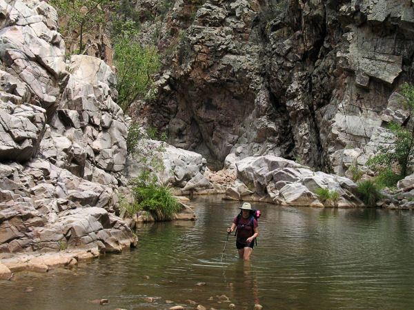
- Hells gate wilderness arizona hike down tonto creek
- Fish speciesEdit
- References
Map of Tonto Creek, Arizona, USA
Hells gate wilderness arizona hike down tonto creek
Fish speciesEdit
References
Tonto Creek Wikipedia(Text) CC BY-SA