
OSI/OSNI grid O082016 Elevation 817 m Province Leinster Parent range Wicklow Mountains | Topo map OSi Discovery 56 Prominence 202 m Mountain range Wicklow Mountains Listing Marilyn | |
 | ||
Translation back-side to the wind (Irish) Location County Wicklow, Republic of Ireland Easiest route From a car park at the top of nearby Glenmacnas Waterfall (on the Sally Gap side) where there are routes to the summit on either side of the lake and stream. Similar Mullaghcleevaun, Camaderry, Turlough Hill, Conavalla, Mullacor | ||
Tonelagee and lough ouler loop
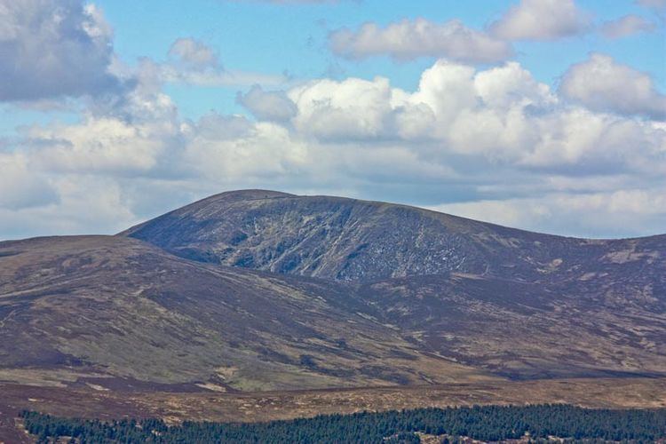
Tonelagee (Irish: Tóin le Gaoith, meaning "back-side to the wind") is a mountain with a height of 817 m (2,680 ft) in County Wicklow, Republic of Ireland.
Contents
- Tonelagee and lough ouler loop
- Map of Tonelagee Laragh West Co Wicklow Ireland
- Tonelagee wicklow ireland
- Geography
- Access to the summit
- References
Map of Tonelagee, Laragh West, Co. Wicklow, Ireland
Tonelagee wicklow ireland
Geography
The mountain lies just north of the high point of the Wicklow Gap in the centre of the Wicklow Mountains. Tonelagee is the third highest of the Wicklow Mountains and the 33rd highest peak in Ireland. From the summit the distinctive heart-shaped Lough Ouler is visible on the eastern side of the mountain. During a sunrise or on a clear day, towards the east one can see Snowdonia in Wales, at a distance of about 90 miles.
Access to the summit
Starting from the Wicklow Gap is possible to reach on foot the summit of the mountain. Another way to the summit starts from Glenmacnass Waterfall.
References
Tonelagee Wikipedia(Text) CC BY-SA