
Prominence 71 Topo map OSi Discovery 56 Province Leinster Parent range Wicklow Mountains | Listing Hewitt Elevation 698 m Mountain range Wicklow Mountains | |
 | ||
Location Wicklow, Republic of Ireland Similar Tonelagee, Turlough Hill, Mullacor, Conavalla, Camenabologue | ||
Camaderry (Irish: Sliabh Céim an Doire, meaning "step/pass of the oak-wood") is a mountain in the Wicklow Mountains.
Contents
Map of Camaderry, Brockagh, Co. Wicklow, Ireland
Geography
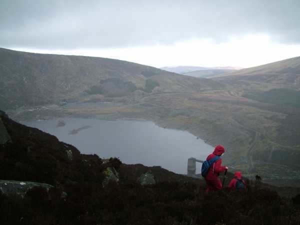
The mountain is located just south of the Wicklow Gap in County Wicklow, which runs over the gap between it and Tonelagee Mountain. It dominates the village of Glendalough and it forms the northern wall of the Upper Lake.
Standing at 698 metres, Camaderry is the 17th / 18th highest mountain in the Wicklow Mountains and the 114th highest mountain in Ireland, joint with Silsean which also has a height of 698 metres.
On its western flank is Turlough Hill, on top of which sits a reservoir as part of a hydroelectric scheme.
References
Camaderry Wikipedia(Text) CC BY-SA