
Existed: 1987 – present Constructed 1987 | Length 11.3 km | |
 | ||
West end: | ||
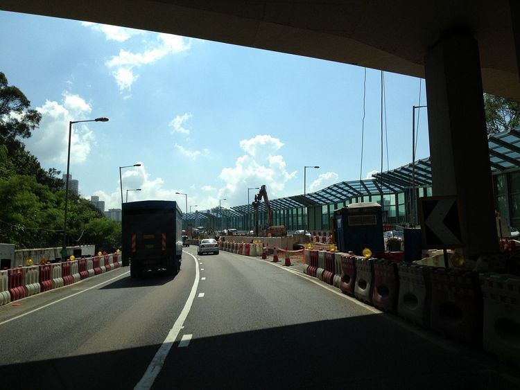
Tolo Highway (Chinese: 吐露港公路; pinyin: Tùlùgǎng Gōnglù; Cantonese Yale: tou3 lou6 gong2 gung1 lou6) is a major expressway on Route 9 in Hong Kong. It connects the new towns of Sha Tin and Tai Po in the eastern New Territories, and was constructed in three stages between 1985 and 1987.
Contents
Map of Tolo Hwy, Hong Kong
The highway diverges from Tai Po Road near Sha Tin Racecourse. The following 7.3 kilometres (4.5 mi) of the road runs on an embankment on the west coast of Tolo Harbour towards Yuen Chau Tsai (Island House). This section is built alongside the East Rail Line. Construction began in March 1999 to expand the section to a dual four-lane carriageway and was finished in August 2003. This section has a speed limit of 100 km/h.
The next section, 5 km (3.1 mi) long, bypasses Tai Po on the hills to its south. This section remains a dual 3-lane carriageway in its original configuration and the road name changes at Lam Kam Interchange where it connects to the Fanling Highway via a viaduct and interchanges with Lam Kam Road, Tai Po Road and Tai Wo West Service Road. This section is currently being upgraded to a dual four-lane carriageway. Construction began in August 2009 and was completed in March 2014. This section has a speed limit of 80 km/h.
Interchanges and junctions
There are 6 junctions along Tolo Highway: Sha Tin Racecourse, Ma Liu Shui, Science Park, Island House, Tat Wan Road and Tai Po Tai Wo Road.