
Vehicle registration JH Population 95,081 (2011) | Time zone IST (UTC+5:30) Website giridih.nic.in | |
 | ||
Tisri block is a community development block that forms an administrative division in Khuri Mahua subdivision of Giridih district in the Indian state of Jharkhand.
Contents
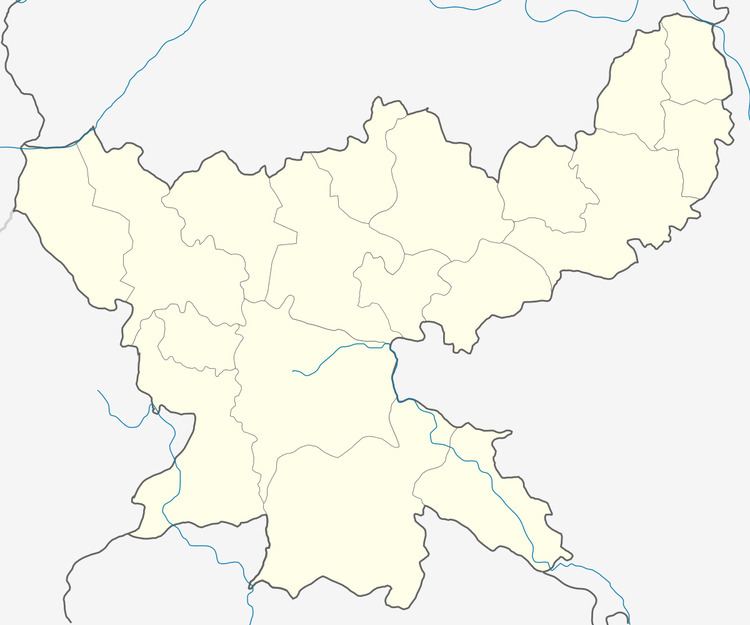
Map of Tisri, Jharkhand 815317
Geography
Tisri is located at 24°34′10″N 86°3′32″E.
Tisri CD Block covers an area 42,953.34 hec, out of which 25,295.37 hec was forest area.
Panchayats in Tisri CD Block are: Thansinghdih, Mansadih, Lokai, Belwana, Palmarua, Singho, Gumgi, Chandouri, Khatponk, Gadkura, Barwadih, Kharkhari, Bhandari, Tisri and Khijuri.
Rivers in Tisri CD Block are: Kiul, Sakri, Barki and Kunda.
Demographics
As per 2011 Census of India Tisri CD Block had a total population of 95,081, all of which were rural. There were 47,473 males and 47,658 females. Scheduled Castes numbered 13,037 and Scheduled Tribes numbered 21,114.
Literacy
As of 2011 census, the total number of literates in Tisri CD Block was 41,892 out of which 26,289 were males and 15,603 were females.
Economy
Gawan and Tisri CD Blocks are home to mica mines.