
Vehicle registration JH Population 115,962 (2011) | Time zone IST (UTC+5:30) Website giridih.nic.in | |
 | ||
Gawan block is a community development block that forms an administrative division in Khuri Mahua subdivision of Giridih district in the Indian state of Jharkhand.
Contents
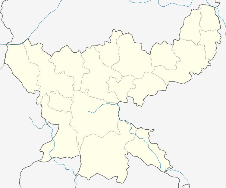
Map of Gawan, Jharkhand
Geography
Gawan is located at 24°37′06″N 85°56′51″E.
Gawan CD Block covers an area 33,675.04 hectares (83,212.8 acres), out of which 16,362.02 hectares (40,431.4 acres) was forest area.
Panchayats in Gawan CD Block are: Pasnour, Manjhne, Birne, Amtaro, Gawan, Serua, Sankh, Patna, Badidih, Malda, Nagwan, Gadar, Kharsan, Pihara (E), Pihara (W), Nimadih and Jamdar.
Rivers in Gawan CD Block are: Sankh, Barki, Chakli, Sakri and Likhar.
Demographics
As per 2011 Census of India, Gawan CD Block had a total population of 115,962, all of which were rural. There were 59,039 males and 56,923 females. Scheduled Castes numbered 18,913 and Scheduled Tribes numbered 5,295.
Literacy
As of 2011 census, the total number of literates in Gawan CD Block was 56,848 out of which 35,581 were males and 21,267 were females.
Economy
Gawan and Tisri CD Blocks have many mica mines.