
Existed: 1944 – present Constructed 1944 | Length 19 km | |
 | ||
To: Tirumala, Chittoor District | ||
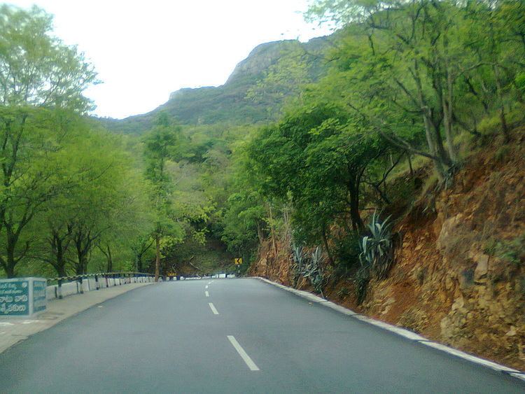
Tirumala ghat roads are two asphalt steep natural slopes ghat roads between Tirupati and Tirumala. They are in Seshachalam Hills range in Pūrva Ghaṭ.
Contents
Map of Sree Venkateswara Ghat Rd, Tirupati, Andhra Pradesh
Route Descriptions
Both ghat roads are double lane type, follow different paths along the hills. The old ghat road was laid in 1944, other was opened in 1974. Old ghat road route is used for vehicles from Tirumala to Tirupati and new ghat road is from Tirupati to Tirumala. The starting point of the road to go up Tirumala hills is Alipiri and it is overlooked by an immense statue of Garuda in an anjili pose. Each road is approximately 19 km in length and has more than 36 hair pin bends. It takes 40 minutes to reach top Tirumala Venkateswara Temple.
Design
The ghat road over Seven Hills between Tirumala to Tirupati was designed by preeminent engineer Bharat Ratna Mokshagundam Vishweshvaraiah.
Toll gate
At Alipiri, Tollgate cum security zone was established to screen vehicles and pilgrims entering Tirumala, to safeguard the hills from terrorists and anti-social elements.