PIN 461228 Local time Saturday 7:34 AM | Time zone IST (UTC+5:30) Population 178 (2001) | |
 | ||
Weather 28°C, Wind SW at 2 km/h, 31% Humidity | ||
Timarni is a town and a Nagar panchayat in Harda district in the Indian state of Madhya Pradesh.
Contents
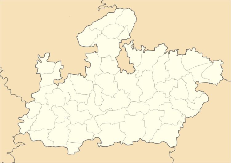
Map of Timarni, Madhya Pradesh 461228
Demographics
As of 2001 India census, Timarni had a population of 19,178. Males constitute 53% of the population and females 47%. Timarni has an average literacy rate of 73%, higher than the national average of 64%: male literacy is 81%, and female literacy is 64%. In Timarni, 14% of the population is under 6 years of age. It has only one government college on Rahatgaon Road. It has several schools. Radhaswami High School is one of the largest schools of Timarni.
Origin of name
It is not confirmed but some people say it came from the Timran River. Also some relate it with timber (wood).
Location
National Highway 59A passes through Timarni.it is a junction point between Indore and Nagpur. It is connected by rail also; major trains halt at Timarni.
There are many trains stopping and many goods transported from here related to agriculture, wood and vegetables. The depot of timber is one of the largest depots of wood in the state of Madhya Pradesh. It is also known for huge production of wheat and soybeans. Timarni is also known for its market as it plays role as an important center for the villages surrounding it.
