
Opening date 1975 Impounds Kalu River Height 19 m | Location Tikhol, ParnerIndia Type of dam Earth-fill (Earthen) Length 360 m (1,180 ft) | |
 | ||
Similar Mandohol Dam, Ranjangaon Road railway st, Nilwande Dam, Mula Dam, Ahmednagar Fort | ||
Tikhol Dam (Marathi: तिखोल धरण ) is an earth-fill dam on Kalu river in Tikhol village in Parner taluka of Ahmednagar district of state of Maharashtra in India.
Contents
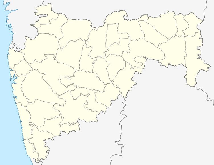
Map of Tikhol Dam, Maharashtra 414304
Specifications
The height of the dam above lowest foundation is 18.53 m (60.8 ft) while the length is 360 m (1,180 ft). The gross storage capacity is 2,430 km3 (580 cu mi).
Purpose
References
Tikhol Dam Wikipedia(Text) CC BY-SA