
Official name Mandohol Dam Construction cost ₹362 lakh (US$540,000) Height 27 m Surface area 199.5 km² | Opening date 1984 Type of dam Earth-fill (Earthen) Catchment area 142.4 km² Construction began 1977 | |
 | ||
Similar Mula Dam, Nilwande Dam, Ranjangaon Road railway st, Ahmednagar Fort | ||
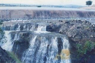
Mandohol Dam (Marathi: मांडोहोळ धरण), is an earth-fill dam on Mandohol River in Karjule Hareshwar village of Parner taluka in Ahmednagar district of state of Maharashtra in India.
Contents
Construction
The dam is constructed by Command Area Development Authority (CADA), Ahmednagar. It was constructed between 1977 and 1983, and was opened for irrigation purpose in 1984.
Specifications
The height of the dam above lowest foundation is 27.07 m (88.8 ft) while the length is 739.0 m (2,424.5 ft). The volume content is 426 km3 (102 cu mi) and gross storage capacity is 11,300 km3 (2,700 cu mi).
Purpose
References
Mandohol Dam Wikipedia(Text) CC BY-SA