
Country United Mexican States Time zone PST (UTC−8) Area 879.2 km² Population 1.642 million (2015) | Municipality established December 29, 1953 INEGI code 004 Largest city Tijuana | |
 | ||
Clubs and Teams Club Tijuana, Atletico Baja, Club Tijuana Premier, Tijuana Cimarrones, Inter Tijuana Points of interest Colleges and Universities Tijuana Institute of Technology, Colef, Ibero‑American University Tijuana, Universidad Xochicalco - Tijuana | ||
Tijuana Municipality is a municipality in the Mexican state of Baja California. Its municipal seat is located in the city of Tijuana. According to the 2010 census, the municipality had a population of 1,559,683 inhabitants, of whom 1,300,983, or 83.4%, lived in the city of Tijuana. The municipality maintained its position as 3rd most populated nationally as of 2015 census, only behind Ecatepec de Morelos and Itzapalapa (DF). Carlos Bustamante Anchondo of the PRI is the current municipal president. Most notably, residents from Tijuana city, which barely budged in population, moved to the municipality in the 5 years preceding the 2010 Census, indeed the non-city portion has gained over 140,000 residents. Much of this historic movement could be explained by the drug violence, as residents seek isolated suburban communities outside city limits to escape it. The municipality comprises the largest part of the Tijuana metropolitan area.
Contents
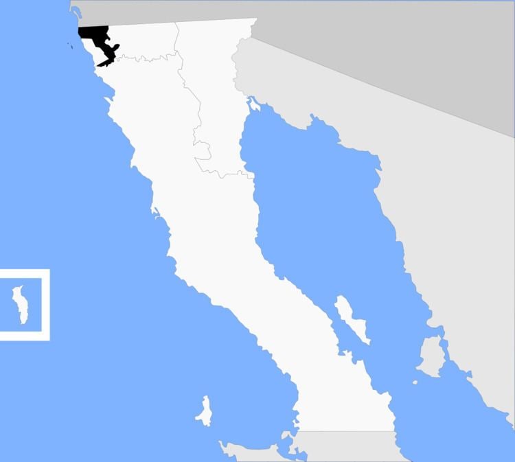
Map of Tijuana, Baja California, Mexico
Tijuana is bordered to the south by the municipalities of Rosarito Beach and Ensenada; to the east, by the municipality of Tecate; to the west, by the Pacific Ocean; and to the north, by the international border with the United States, specifically the County of San Diego, California. The area of the municipality of Tijuana is 879.2 km² (339.46 sq mi); the municipality includes part of the Coronado Islands, located off the coast of the municipality in the Pacific Ocean.
The city of Tijuana's precise location is 32°32′05″N 117°02′37″W. It lies just south of San Diego, California. The adjacent city and former borough of Tijuana is Rosarito Beach.
Boroughs
The municipality of Tijuana is divided into eight administrative boroughs, or Delegaciones. The Tijuana metropolitan area occupies all of borough seats. The boroughs are in turn divided into colonias or ejidos. These boroughs offer administrative services such as urban planning, civil registry, inspection, verification, public works and community development and are served by a delegado.
Demographics
As of 2010, the municipality had a total population of 1,559,683., which increased to third largest in the nation with 1,641,570 people as of 2015 census unadjusted preliminary counts.
As of 2010, the city of Tijuana had a population of 1,300,983. Other than the city of Tijuana, the municipality had 902 localities, the largest of which (with 2010 populations in parentheses) were: El Refugio (36,400), Pórticos de San Antonio (34,234), La Joya (26,860), Terrazas del Valle (20,421), Villa del Prado Secunda Sección (18,226), Las Delicias (15,486), Villa del Campo (13,906), Villa del Prado (12,303), El Niño (8,999), San Luis (8,571), Maclovio Rojas (7,279), Quinta del Cedro (5,704), Parajes del Valle (3,595), Lomas del Valle (3,352), Los Valles (3,135), classified as urban, and Ejido Javier Rojo Gómez (2,408), Hacienda los Venados (2,096), Buenos Aires (1,761), Cuesta Blanca (1,591), Ejido Ojo de Agua (1,241), San Antonio (1,241), La Esperanza (Granjas Familiares) (1,173), Colinas del Sol (1,145), and Lomas de Tlatelolco (1,086), classified as rural.