
- elevation 279 ft (85 m) Length 182 km Cities Holden | - elevation −3 ft (−1 m) | |
 | ||
- left Blood RiverNatalbany RiverPontchatoula River - location Killian, Livingston Parish, Louisiana | ||
Great flood of 2016 tickfaw river flooding many homes
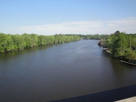
The Tickfaw River /ˈtɪkfɔː/ runs 113 miles (182 km) from Amite County in southwest Mississippi to Livingston Parish in southeast Louisiana. Its mouth opens into Lake Maurepas, which conjoins with Lake Pontchartrain.
Contents
Map of Tickfaw River, 8, LA, USA
Alternate/historical names and spellings:
References
Tickfaw River Wikipedia(Text) CC BY-SA