
Country Thailand Seat Khok Chamrae Postal code 34160 Area 307 km² | Province Ubon Ratchathani Time zone THA (UTC+7) Geocode 3426 Population 26,986 (2005) | |
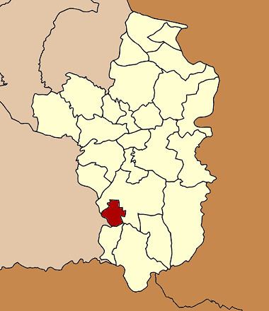 | ||
Thung Si Udom (Thai: ทุ่งศรีอุดม) is a district (Amphoe) in the southwestern part of Ubon Ratchathani Province, northeastern Thailand.
Contents
Map of Thung Si Udom District, Ubon Ratchathani, Thailand
Geography
Neighboring districts are (from the north clockwise) Det Udom, Nam Khun of Ubon Ratchathani Province and Kantharalak of Sisaket Province.
History
The minor district (King Amphoe) Thung Si Udom was created on April 1, 1992, when 6 tambon were split off from Det Udom district. The inclusion of tambon Thung Thoeng into the new district was undone on June 1, 1993. The minor district was upgraded to a full district on October 10, 1997.
Administration
The district is subdivided into 5 subdistricts (tambon), which are further subdivided into 52 villages (muban). There are no municipal (thesaban) areas, and 5 Tambon administrative organizations (TAO).
Geocode 1 was assigned to Thung Thoeng, which was returned to Det Udom district