
Population 20,331 (2011 census) Thomastown Bundoora Postal code 3074 | Postcode(s) 3074 Area 14.7 km² Local time Friday 10:50 AM | |
 | ||
Weather 12°C, Wind SW at 11 km/h, 77% Humidity Federal divisions Division of Batman, Division of Scullin | ||
Thomastown is a suburb of Melbourne, Victoria, Australia, 17 km and approximately 30 minutes north of Melbourne's central business district. Its local government area is the City of Whittlesea. At the 2011 census, Thomastown had a population of 20,331.
Contents
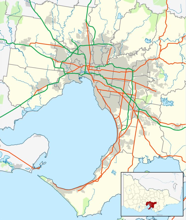
- Map of Thomastown VIC 3074 Australia
- History and development
- Thomastown Today
- Thomastown Station
- Sport
- References
Map of Thomastown VIC 3074, Australia
Thomastown is known for sharing its area with Westgarthtown, a historical settlement.
History and development
Thomastown came into existence in 1848 when the John Honniball Thomas and Mary née Hartnell family bought 106 acres, the land north of Melbourne for market gardening. Two years later, William Westgarth bought land north of Thomas' holding, which he made way for German settlers. Thomastown Post Office opened on 9 June 1862. The Thomastown area attracted lots of farmers and horse-racing until World War II. In 1889, the Epping railway line opened and milk production and distribution grew during the 1930s when a German dairying family formed the Pura Dairy, ultimately to expand into Preston and became Metropolitan Dairies Pty. Ltd. In 1947, a housing co-operative was formed 2 km. north in the suburb of Lalor. It wasn't long before residential development began at Thomastown. While German settlers already call this area home, more settlers moved in, mostly Italians, Macedonians and Greek. In 1961 St. Clare's Primary School opened, followed by Thomastown Secondary College and then Thomastown West Primary School.
Thomastown Today
Thomastown has a strip shopping centre in High Street parallel to the Thomastown Railway Station, a shopping centre corner of Edgars Road and Main Street and shops on Settlement Road and Dalton Road, plus various shopping strips east of the train station. Thomastown Secondary College is located on Main Street, adjacent to Thomastown West Primary School, Thomastown Recreational and Aquatic Centre (TRAC) and Thomastown Library. Thomastown East has a grid street configuration, predating the later configuration in Thomastown West which protects residential streets from through traffic. On the south of Thomastown there are numerous factories and an electricity terminal station, near the Metropolitan Ring Road / Northern Ring Road. There is also the Hume Freeway which is West of Thomastown.
The Galada Tamboore Path to the west and the Metropolitan Ring Road Trail to the south provide facilities for recreational and commuting cyclists. Edgars Creek and the Edgars Creek Trail runs along a linear park which is next to a reserve with ovals.
Each year around March the community unite for the annual Whittlesea Community festival, a festival that showcases local culture through live entertainment, food stalls, hand made crafts and fireworks finale. The festival is held at the Barry Road parklands in Thomastown.
Thomastown is also the home to Select Harvests corporate offices and one of its two almond processing plants.
Thomastown is also famous as the birthplace of local legend, Dominic Colaci.
Thomastown Station
Thomastown Station opened on 23 December 1889 was Originally a Single Platform Railway Station which is located on High Street between Main Street and Spring Street. Thomastown Station has direct link to the City via the South Morang Line. In recent years Thomastown Station was upgraded which brought 2 Railway Platforms instead of the old 1 Platform, 310 Parking Spaces for Cars, a Pedestrian Overpass to Cross over to the Second Platform as well as Lifts for the disabled and New Myki Card Systems which would replace the old Train Tickets.
Sport
Thomastown has 5 Sporting Ovals scattered to each side of Thomastown Such As the Nick Ascenzo Park Located off Boronia Street, Thomastown East Recreational Reserve Located Off Rowen Street, HR Uren Reserve Located Next to Victoria Drive, West RGC Cook Reserve Located on Robinvale Avenue and Main Street Recreational Reserve which is Located Next to Edgars Creek and TRAC. There is also a Thomastown Football Club, an Australian Rules football team, which competes in the Northern Football League.