
Official name Thokarwadi dam Opening date 1922 Height 59 m Catchment area 124.3 km² | Type of dam Gravity Length 741 m (2,431 ft) Opened 1922 Surface area 24.3 km² | |
 | ||
Similar Dimbhe Dam, Bhatghar Dam, Sina Kolegaon Dam, Dhak Fort, Manikdoh Dam | ||
Places near pune small trip to khandi and thokarwadi dam
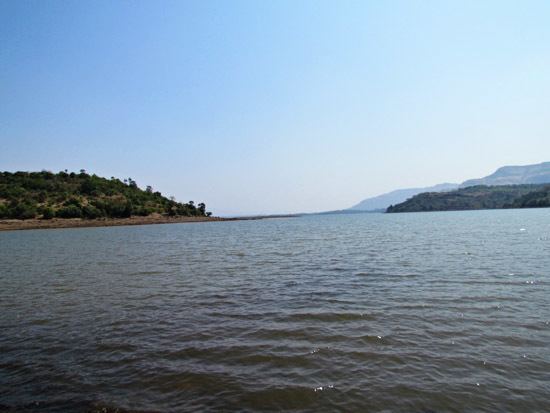
Thokarwadi dam is a gravity dam on the Indrayani River near Maval, Pune district in the state of Maharashtra in India. Krishna river basin water from this reservoir is diverted to the Bhivpuri power house to generate hydro electricity before letting in to a west flowing river which joins Arabian sea
Contents
- Places near pune small trip to khandi and thokarwadi dam
- Map of Thokarwadi Dam Maharashtra 410405
- Specifications
- Purpose
- References
Map of Thokarwadi Dam, Maharashtra 410405
Specifications
The height of the dam above the lowest foundation is 59.44 m (195.0 ft) while the length is 741 m (2,431 ft). The volume content is 212 km3 (51 cu mi) and gross storage capacity is 0.363 km3 (0.087 cu mi).
Purpose
References
Thokarwadi Dam Wikipedia(Text) CC BY-SA