
Official name Manikdoh Dam Opening date 1984 Impounds Kukadi river Height 52 m | Type of dam Gravity Length 930 m (3,050 ft) Surface area 18,434 km² | |
 | ||
Similar Yedgaon Dam, Dimbhe Dam, Hadsar, Vigneshwara Temple - Ozar, Jivdhan | ||
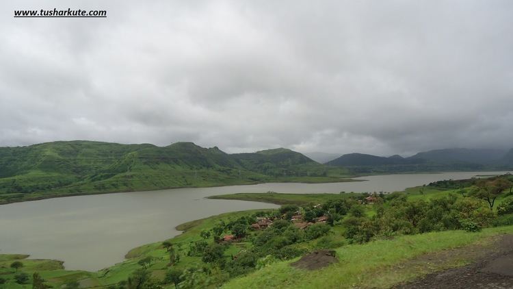
Manikdoh Dam, is a gravity dam on Kukadi River near Junnar, Pune district in state of Maharashtra in India.
Contents
Map of Manikdoh Dam, Tejur, Maharashtra 410502
Specifications
The height of the dam above lowest foundation is 51.8 m (170 ft) while the length is 930 m (3,050 ft). The volume content is 596 km3 (143 cu mi) and gross storage capacity is 308,060.00 km3 (73,907.52 cu mi). The dam is located in the Ghod basin and is part of the Kukadi project, which constructed five dams in the region. Other dams included in this project are Yedgaon Dam, Pimpalgaon Joge Dam, Dimbhe Dam and Wadaj Dam. A 6 MW power house is also built at the foot of this dam.
Purpose
References
Manikdoh Dam Wikipedia(Text) CC BY-SA