
Vehicle registration WB Area 11.42 km² Local time Thursday 6:41 AM Area code 02622 | Time zone CET (UTC+1) Elevation 282 m Population 2,800 (1 Apr 2009) Postal code 2604 | |
 | ||
Website www.theresienfeld.gv.at Weather 14°C, Wind NW at 8 km/h, 56% Humidity | ||
Theresienfeld is a town in the Wiener Neustadt-Land district of Lower Austria, in eastern Austria. It lies 5 km (3 miles) north of Wiener Neustadt, in the southern part of the Vienna Basin. Of its 11.47 km2 area, 3.40% is forested.
Contents
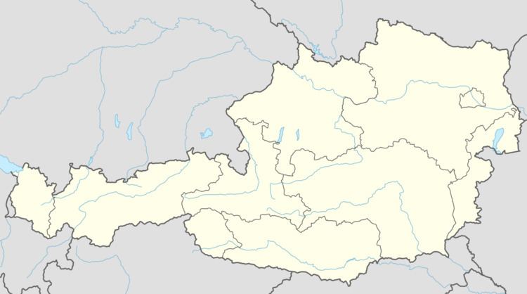
Map of Theresienfeld, Austria
History
Theresienfeld was founded in 1763 by Empress Maria Theresa, for the agricultural development of the area.
Economy and education
In 2011, there were 169 non-agricultural jobs in the municipality, and 14 agriculturally and forestry related companies. 109 persons were unemployed.
Theresienfeld has two kindergartens, a primary school, and a vocational school.
References
Theresienfeld Wikipedia(Text) CC BY-SA