Population 169 (2006 census) Local time Monday 7:41 PM | Postcode(s) 4406 Postal code 4406 | |
 | ||
Location 329 km (204 mi) W of Brisbane202 km (126 mi) W of Toowoomba119 km (74 mi) W of Dalby82 km (51 mi) S of Miles Weather 20°C, Wind SE at 16 km/h, 65% Humidity | ||
The Gums is a town and locality in the western Darling Downs region of Queensland, Australia. At the 2006 census, The Gums and the surrounding area had a population of 169.
Contents
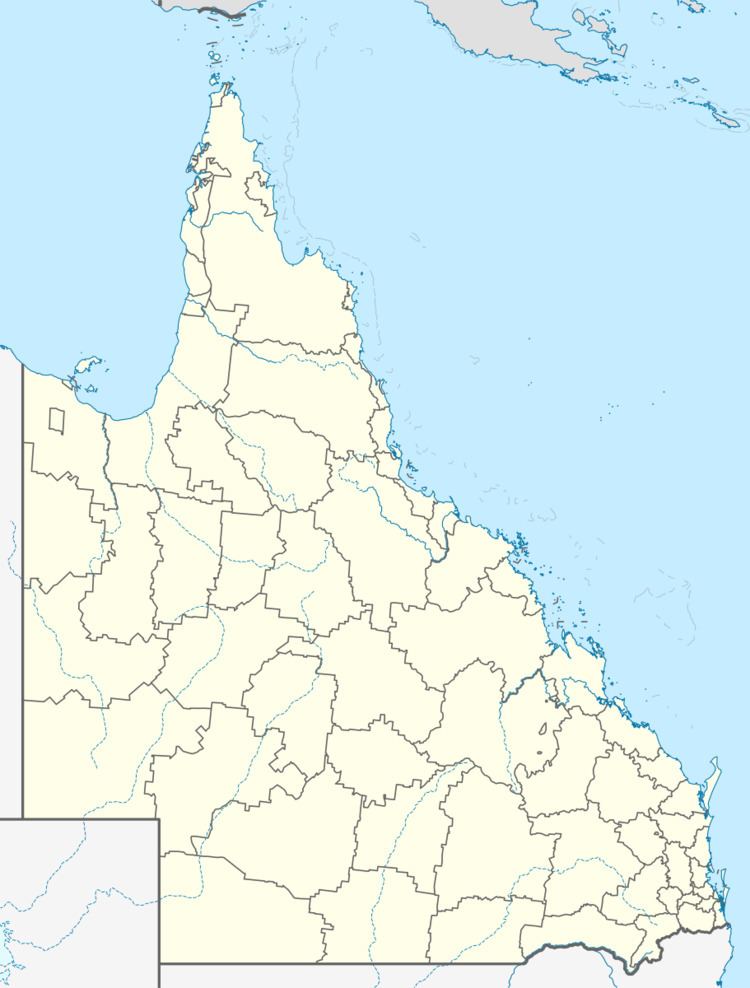
Map of The Gums QLD 4406, Australia
Geography
The town is at the junction of the Leichhardt Highway and the Surat Developmental Road, in the Western Downs Region local government area, 329 kilometres (204 mi) west of the state capital, Brisbane.
History
The name of the town was derived from the nearby railway station, on the line from Dalby to Glenmorgan, used from 1924.
References
The Gums, Queensland Wikipedia(Text) CC BY-SA
