
Population 1,854 (2011 census) Postcode(s) 4415 State electorate(s) Warrego Postal code 4415 Federal division Division of Maranoa | Established 1878 LGA(s) Western Downs Region Elevation 302 m Local time Wednesday 9:27 PM | |
 | ||
Location 337 km (209 mi) WNW of Brisbane
211 km (131 mi) NW of Toowoomba
127 km (79 mi) NW of Dalby
141 km (88 mi) E of Roma Weather 23°C, Wind NE at 11 km/h, 87% Humidity | ||
Miles is a small town in Queensland, Australia. At the 2011 census, Miles had a population of 1,854.
Contents
Map of Miles QLD 4415, Australia
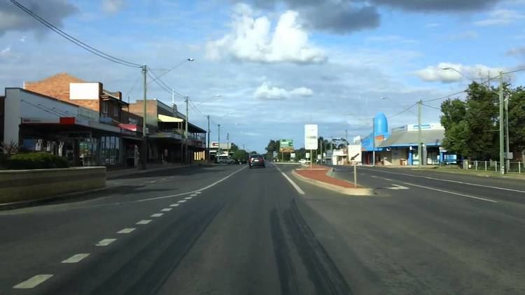
The town is on the Warrego Highway, 340 kilometres (210 mi) west of Brisbane, the state capital.
History
Formerly known as Dogwood Crossing, the town is situated on Dogwood Creek, named by German explorer Ludwig Leichhardt in 1844. The town was renamed Miles in honour of the Queensland Colonial Secretary, William Miles. Miles Post Office opened on 3 January 1878.
The Miles War Memorial and Wall of Remembrance was erected by the Murilla Shire Council and dedicated on 25 April 1967.
Climate
Miles is located on the Western Downs, at an elevation of 304 m. The region around Miles has hot summers with mean maximum temperatures in January of 33.4° Celsius falling to 19.6 in July. Average rainfall is 655.7 mm, falling mainly in the period between November and March
Industry
The economy of Miles is based mainly on agriculture and cropping, producing wheat, sorghum, barley and cotton. Timber production is another area of economic activity and in common with much of Western Queensland, cattle and sheep grazing, including feedlots is widespread.
A mining industry utilising rich deposits of bentonite clay is developing.
In addition, there are the following developing industries:
Transport
Miles is connected to Brisbane, Toowoomba and Roma by the Warrego Highway and Goondiwindi and Rockhampton by the Leichhardt Highway. Greyhound Australia operates 3 daily bus services between Brisbane and Mount Isa via Longreach and Charleville, and Coach QLD operates three buses a week between Toowoomba and Rockhampton, via Miles. The Westlander train also comes through Miles twice a week, on its way between Brisbane and Charleville, at very early hours of Wednesday & Friday mornings (westbound) and Thursdays & Saturdays (Eastbound).
The town is served by the Miles Airport (IATA: WLE) which is located along the Leichhardt Highway approximately 19 km (12 mi) south of the Leichhardt and Warrego Highway intersection, Miles, Queensland, and 14 km (8.7 mi) north of the Leichhardt Highway and Roma-Condamine Road intersection, Condamine, Queensland.