
Time zone PST (UTC+5) Local time Thursday 3:45 PM | Province Punjab Elevation 173 m | |
 | ||
Weather 32°C, Wind W at 24 km/h, 27% Humidity | ||
Thakra is a village situated in the Gujar Khan Tehsil of Rawalpindi District in the Punjab province of Pakistan. It links Rawalpindi, Chakwal and Jhelum. Thakra is located at an altitude of 173 metres (568 ft).
Contents
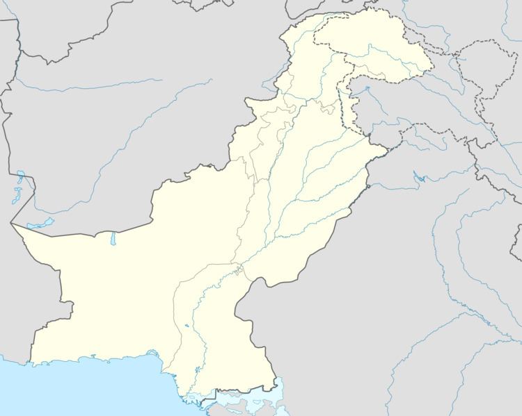
- Map of Thakra Pakistan
- Location
- Main castes
- Religion
- Politics
- Land and crops
- Education
- Development
- References
Map of Thakra, Pakistan
Location
Nearest places within 200 km of Mohra Thakra
Main castes
Thakra Mohra castes include Sadaat(Kazmi), Thakurs, Awans, Rajputs,Choudries, Bhattis, Wazirs, Lohars, Turkhans, Mochis, Kashmiris, Julahy, Kumhar, Musallis and Mashki.
Religion
Three Sunni and one Shia mosque and one Shia Imambargah (Imambarha / Hussainiyah). There is two tombs (dargah / Darbar) of Shias in the village.
Politics
Thakra Mohra has been politically governed by the Thakurs since its inception.
Land and crops
Thakra Mohra has fertile lands where crops including wheat, groundnut, maize, barley, masoor and gram are grown. Half of its lands are irrigated by the Narrali Dam. Most of the cultivable lands are owned by the Thakurs and the Awans. Most of the wells have dried up, threatening the village's future.
Education
The village offers a middle school for girls and a primary school for boys.
Development
Gas pipelines are being laid in the village. Electricity and Digital Telephone with many Subscribers of High speed internet.