
Existed: by 1933 – present SH 116 SH 117 → | Length 634.8 km | |
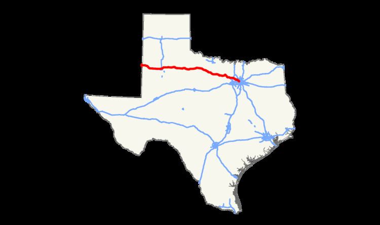 | ||
State Highway 114 (or SH 114) is a state highway that runs from the Dallas-Fort Worth Metroplex westward across Texas to the state border with New Mexico, where it becomes New Mexico State Road 114, which eventually ends at Elida, New Mexico at US 70 / NM 330.
Contents
Map of TX-114, Texas, USA
History
The route was originally planned by 1926 as connector between Dallas and Rhome. By 1933, SH 114 extended to Bridgeport. By 1939, this section was completed, with an extension northward from Chico to Sunset. This route remained little changed until 1973, when it was extended northward from Sunset to Bowie. Major rerouting was made in 1976, when the route was redirected west over U.S. Highway 380, U.S. Highway 281, former SH 199, and U.S. Highway 82 from Bridgeport to Lubbock, with the stretch from Bridgeport to Bowie transferred to SH 101. In 1977, the route was extended to the New Mexico border, connecting to it sister New Mexico State Highway 114, replacing State Highway 116. SH 116 was originally planned in 1926 to go from Dallas to Gunter. This route became an extension of SH 14 by 1936.
On August 2, 1985, Delta Air Lines Flight 191 crossed this route shortly before crashing on approach to Dallas/Fort Worth Airport. One of the aircraft's engines struck a car on the roadway, instantly killing its occupant; 136 people on the flight also died in the accident.
Route description
The highway's eastern terminus is at the intersection with SH 183 in Irving at the site of the now demolished Texas Stadium. It continues northwest as the "John W. Carpenter Freeway" (a name shared with SH 183) along the Dallas-Fort Worth International Airport, eventually crossing the airport's northern entrance, proceeding west into Grapevine. At Grapevine, it continues northwest through Southlake and Westlake, eventually intersecting Interstate 35W at Texas Motor Speedway. Except for the western end, most of this route is freeway; the SH 114 Business road in the Roanoke area (the original routing of the highway) is named for the late golfer Byron Nelson, who lived in that area.
From there, it continues on a mostly northwesterly course as a rural highway, passing through many towns: Rhome, Boyd and Bridgeport, where it joins U.S. Highway 380 through Jacksboro. It continues through rural Texas, passing through Olney, Megargel, Seymour (where it joins U.S. Highway 82), Benjamin, Guthrie, Dickens, Crosbyton, Ralls, Lorenzo (where it also joins U.S. Highway 62) and Idalou before eventually turning southwest into Lubbock.
In Lubbock, Highway 114 follows Idalou Road where it separates from US 82, then bears west along 19th Street, eventually forming the southern boundary of Texas Tech University, where it then separates from US 62. It passes Loop 289 and exits Lubbock continuing towards the west along 19th Street and then Levelland Highway. As it continues west, it passes through Smyer, Levelland, Whiteface and Morton before crossing into New Mexico.
Business routes
SH 114 has four current business routes.
Former Business routes
There is one former Business Route along SH 114. Business State Highway 114-H was located in Bridgeport between 1991 and 2007 and was 1.3 miles (2.1 km) long. The route went east along Halsell Avenue from an intersection with SH 114, to an intersection with 13th Street, then turned right (south) until another intersection with SH 114. This route had been previously designated Loop 373 before 1991; since 2007, though, the portion along 13th was changed back to Loop 373.