
Postal code 5030 | Time zone BST (UTC+6) Area 189.1 km² | |
 | ||
Website Official Map of Tetulia | ||
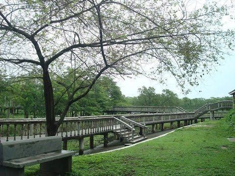
Tetulia upazila 2016
Tetulia or Tentulia also known as "The City of Dream" or "স্বপ্নের শহর" (Bengali: তেতুলিয়া) is an Upazila of Panchagarh District in the Division of Rangpur, Bangladesh.
Contents
- Tetulia upazila 2016
- Map of Tetulia Upazila Bangladesh
- Demographics
- Economy
- Points of interest
- Administration
- Transport
- References
Map of Tetulia Upazila, Bangladesh
Demographics
As of the 1991 Bangladesh census, Tetulia has a population of 86760. Males constitute 51.52% of the population, and females 48.48%. This Upazila's eighteen up population is 42021. Tetulia has an average literacy rate of 25.5% (7+ years), and the national average of 32.4% literate.
Economy
The cultivation of tea, orange and pineapple is abundant in Tetulia. It is located on the Indian border with Darjeeling. A group name Kazi & Kazi has already introduced tea planting.Now, Lot of tea gardens are established on plain land.Stone business is also flourishing here.
Points of interest
Administration
Tetulia has 7 Unions, 36 Mauzas/Mahallas, and 242 villages. The post code of Tetulia is 5030.
Transport
Tetulia is connected by road. Nearby Airport is "Saidpur Airport", which is 130 km from the town. Only Hanif Enterprise & keya Paribahan operate the bus service from Dhaka.