
 | ||
Team billet silverado ss on intros getting towed by 2016 alll terrain on american forces
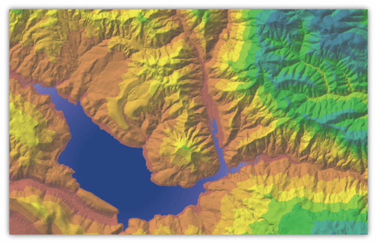
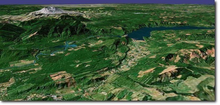
Terrain or relief (also topographical relief) is the vertical and horizontal dimension of the land surface. When relief is described underwater, the term bathymetry is used. The Latin Word "Terra (The root word of terrain)," is "Earth."
Contents
- Team billet silverado ss on intros getting towed by 2016 alll terrain on american forces
- 2016 gmc terrain denali v6 awd start up road test and in depth review
- Importance
- Relief
- Geomorphology
- Additional reading
- References
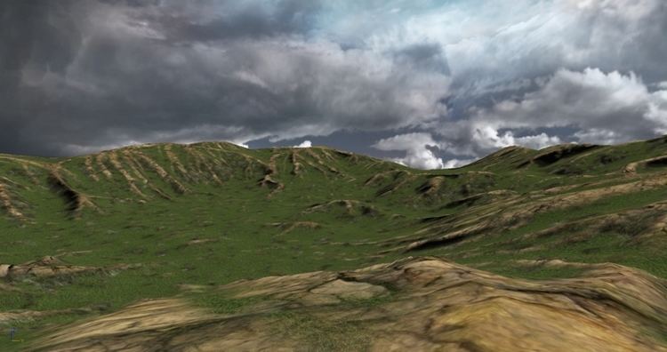
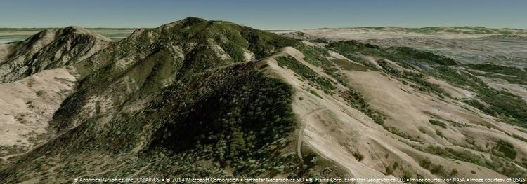
Terrain is used as a general term in physical geography, referring to the lay of the land. This is usually expressed in terms of the elevation, slope, and orientation of terrain features. Terrain affects surface water flow and distribution. Over a large area, it can affect weather and climate patterns.
2016 gmc terrain denali v6 awd start up road test and in depth review
Importance
The understanding of terrain is critical for many reasons:
Relief
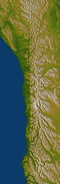
Relief (or local relief) refers specifically to the quantitative measurement of vertical elevation change in a landscape. It is the difference between maximum and minimum elevations within a given area, usually of limited extent. The relief of a landscape can change with the size of the area over which it is measured, making the definition of the scale over which it is measured very important. Because it is related to the slope of surfaces within the area of interest and to the gradient of any streams present, the relief of a landscape is a useful metric in the study of the Earth's surface. Relief energy, which may be defined inter alia as "the maximum height range in a regular grid", is essentially an indication of the ruggedness or relative height of the terrain.
Geomorphology
Geomorphology is in large part the study of the formation of terrain or topography. Terrain is formed by intersecting processes:
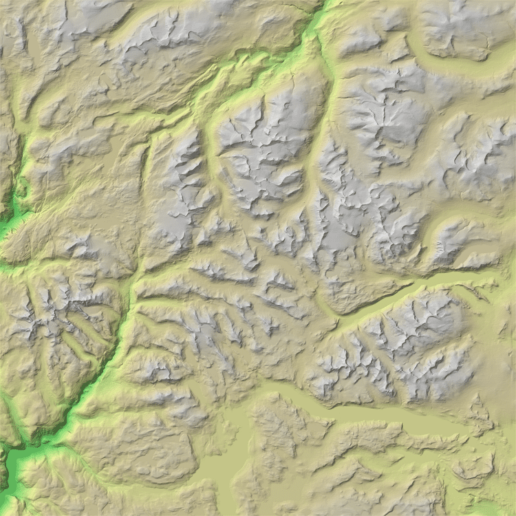
Tectonic processes such as orogenies cause land to be elevated, and erosional or weathering processes cause land to be worn away to lower elevations.
Land surface parameters are quantitative measures of various morphometric properties of a surface. The most common examples are used to derive slope or aspect of a terrain or curvatures at each location. These measures can also be used to derive hydrological parameters that reflect flow/erosion processes. Climatic parameters are based on the modelling of solar radiation or air flow.
Land surface objects, or landforms, are definite physical objects (lines, points, areas) that differ from the surrounding objects. The most typical examples airlines of watersheds, stream patterns, ridges, break-lines, pools or borders of specific landforms.