
Area 1,347 km² Population 44,103 (2013) | Website tazewellcountyva.org Founded 20 December 1799 | |
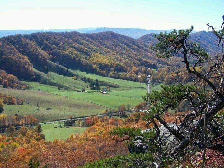 | ||
Points of interest Lotito City Park, Historic Crab Orchard, Back of the Dragon, Cavitt's Creek at Lake Witt, Pocahontas Exhibition Coal Mine | ||
Tazewell County is a county located in the southwestern portion of the U.S. state of Virginia. As of the 2010 census, the population was 45,078. Its county seat is Tazewell.
Contents
- Map of Tazewell County VA USA
- Tazewell co va
- History
- Geography
- Adjacent counties
- National protected area
- Major highways
- Demographics
- Colleges
- Public high schools
- Professional sports teams
- Towns
- Census designated places
- References
Map of Tazewell County, VA, USA
Tazewell County is part of the Bluefield, WV-VA Micropolitan Statistical Area.
Tazewell co va
History
Before the arrival of pioneers, Tazewell County was a hunting ground for Native Americans. Although rare in the eastern United States, there are petroglyphs near the summit of Paintlick Mountain.
In the spring of 1771, Thomas and John Witten established the first permanent settlement in Tazewell County at Crab Orchard.
Tazewell County was created on December 20, 1799. The land for the county was taken from portions of Wythe and Russell counties. It was named after Henry Tazewell, a United States Senator from Virginia, state legislator and judge. Delegate Littleton Waller Tazewell originally opposed the formation of the new county but when Simon Cotterel, who drew up the bill to form the county, changed the originally proposed name of the county to Tazewell's namesake, in honor of his father Henry who had died earlier that year. The bill passed.
Jeffersonville was established the following year (1800) as the county seat. On February 29, 1892, Jeffersonville was renamed Tazewell.
Paramount's 1994 film Lassie was filmed here.
Geography
According to the U.S. Census Bureau, the county has a total area of 520 square miles (1,300 km2), of which 519 square miles (1,340 km2) is land and 1.1 square miles (2.8 km2) (0.2%) is water.
Since it contains portions of the Ridge-and-Valley Appalachians and the Cumberland Plateau, Tazewell County has very distinct geologic areas within the county. Of the most unusual areas is Burke's Garden, a bowl-shaped valley formed by the erosion of a doubly plunging anticline. Tazewell County includes the headwaters of four watersheds, which are the Upper Clinch, Middle New, North Fork Holston, and Tug.
Adjacent counties
National protected area
Major highways
Demographics
As of the census of 2000, there were 44,598 people, 18,277 households and 13,232 families residing in the county. The population density was 86 people per square mile (33/km²). There were 20,390 housing units at an average density of 39 per square mile (15/km²). The racial makeup of the county was 96.16% White, 2.29% Black or African American, 0.17% Native American, 0.61% Asian, 0.16% from other races, and 0.62% from two or more races. 0.51% of the population Hispanic or Latino of any race.
There were 18,277 households out of which 28.70% had children under the age of 18 living with them, 58.20% were married couples living together, 10.80% had a female householder with no husband present, and 27.60% were non-families. 25.20% of all households were made up of individuals and 11.90% had someone living alone who was 65 years of age or older. The average household size was 2.40 and the average family size was 2.85.
In the county, the population was spread out with 21.40% under the age of 18, 8.40% from 18 to 24, 27.20% from 25 to 44, 27.50% from 45 to 64, and 15.50% who were 65 years of age or older. The median age was 41 years. For every 100 females there were 92.00 males. For every 100 females age 18 and over, there were 88.70 males.
The median income for a household in the county was $27,304, and the median income for a family was $33,732. Males had a median income of $28,780 versus $19,648 for females. The per capita income for the county was $15,282. About 11.70% of families and 15.30% of the population were below the poverty line, including 20.30% of those under age 18 and 13.90% of those age 65 or over.
Colleges
Public high schools
All public schools in Tazewell County are operated by Tazewell County Public Schools system.