
Founded 1827 Website www.tazewell.com Population 136,352 (2013) Unemployment rate 5.0% (Apr 2015) | Area 1,704 km² | |
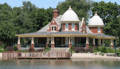 | ||
Colleges and Universities Points of interest Par‑A‑Dice Hotel and Casino, Mineral Springs Park, Independence Park, Harry Lahood Park, Fort Crevecoeur Destinations | ||
Tazewell County(/tæzwɛl/)(TazzWell) is a county in the U.S. state of Illinois. According to the 2010 census, it had a population of 135,394. Its county seat and largest city is Pekin. It is pronounced with a short "a", to rhyme with "razz" rather than "raze".
Contents
- Map of Tazewell County IL USA
- History
- Geography
- Climate and weather
- Adjacent counties
- Airports
- Demographics
- Cities
- Census designated place
- Other unincorporated communities
- Townships
- References
Map of Tazewell County, IL, USA
Tazewell County is part of the Peoria, IL Metropolitan Statistical Area. The majority of the population lives along the county's western border.
History
Tazewell County was formed out of Peoria County in 1827. The consensus appears to be that it was named in honor of Littleton Tazewell, who served in the U.S. Senate, and who became Governor of Virginia in 1834. It is, however, possible that it was named after Littleton's father, prominent Virginia politician Henry Tazewell, after whom Tazewell County, Virginia, was named.
Geography
According to the U.S. Census Bureau, the county has a total area of 658 square miles (1,700 km2), of which 649 square miles (1,680 km2) is land and 9.0 square miles (23 km2) (1.4%) is water.
Climate and weather
In recent years, average temperatures in the county seat of Pekin have ranged from a low of 14 °F (−10 °C) in January to a high of 86 °F (30 °C) in July, although a record low of −27 °F (−33 °C) was recorded in January 1884 and a record high of 113 °F (45 °C) was recorded in July 1936. Average monthly precipitation ranged from 1.50 inches (38 mm) in January to 4.17 inches (106 mm) in May.
Adjacent counties
Airports
The following public-use airports are located in Tazewell County:
Demographics
As of the 2010 United States Census, there were 135,394 people, 54,146 households, and 37,163 families residing in the county. The population density was 208.6 inhabitants per square mile (80.5/km2). There were 57,516 housing units at an average density of 88.6 per square mile (34.2/km2). The racial makeup of the county was 96.2% white, 1.0% black or African American, 0.7% Asian, 0.3% American Indian, 0.5% from other races, and 1.3% from two or more races. Those of Hispanic or Latino origin made up 1.9% of the population. In terms of ancestry, 35.6% were German, 15.6% were American, 14.4% were Irish, and 12.0% were English.
Of the 54,146 households, 31.4% had children under the age of 18 living with them, 54.2% were married couples living together, 10.2% had a female householder with no husband present, 31.4% were non-families, and 26.3% of all households were made up of individuals. The average household size was 2.45 and the average family size was 2.94. The median age was 39.8 years.
The median income for a household in the county was $54,232 and the median income for a family was $66,764. Males had a median income of $50,372 versus $34,747 for females. The per capita income for the county was $27,036. About 6.3% of families and 7.9% of the population were below the poverty line, including 11.2% of those under age 18 and 4.5% of those age 65 or over.
Cities
Census-designated place
Other unincorporated communities
Townships
Tazewell County is divided into these townships: