
Local time Tuesday 2:32 AM | ||
 | ||
Rural okrug Tyumetinsky Rural Okrug Administrative center of Tyumetinsky Rural Okrug Municipal district Bulunsky Municipal District Weather -18°C, Wind SW at 23 km/h, 75% Humidity | ||
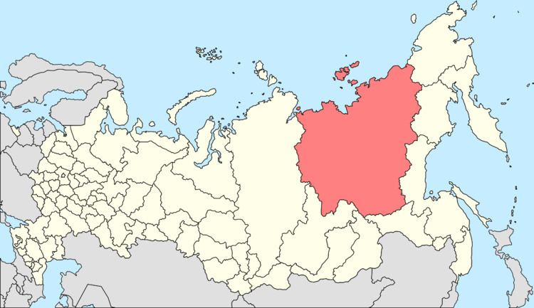
Taymylyr (Russian: Таймылыр; Yakut: Таймылыыр) is a rural locality (a selo) and the administrative center of Tyumetinsky Rural Okrug of Bulunsky District in the Sakha Republic, Russia, located 190 kilometers (120 mi) from Tiksi, the administrative center of the district. Its population as of the 2010 Census was 757, down from 900 recorded during the 2002 Census.
Contents
- Map of Taymylyr Sakha Republic Russia 678414
- Geography
- Demographics
- Economy and infrastructure
- References
Map of Taymylyr, Sakha Republic, Russia, 678414
Geography
Taymylyr is located inside the Arctic Circle, in the region of the Lena River delta on the left bank of the Olenyok River.
Demographics
According to the 2010 Census, the vast majority of the rural okrug's population was composed of indigenous Siberian peoples, with Evenks making up 48%, and Evens and Yakuts around 22% each.
Economy and infrastructure
The local economy is based on reindeer herding, hunting, and fishing.
References
Taymylyr Wikipedia(Text) CC BY-SA