
 | ||
Tatarchev Nunatak (Bulgarian: Татарчев нунатак, ‘Tatarchev Nunatak’ a-'tar-chev 'nu-na-tak) is the rocky ridge rising to 550 m and horseshoe-shaped, extending 3.2 km in north-south direction and 2.2 km in east-west direction on Oscar II Coast in Graham Land. It is part of the glacial divide between Hektoria Glacier to the west and Brenitsa Glacier to the east. The feature is named after Hristo Tatarchev (1869-1952), a leader of the Bulgarian liberation movement in Macedonia.
Contents
Map of Tatarchev Nunatak, Antarctica
Location
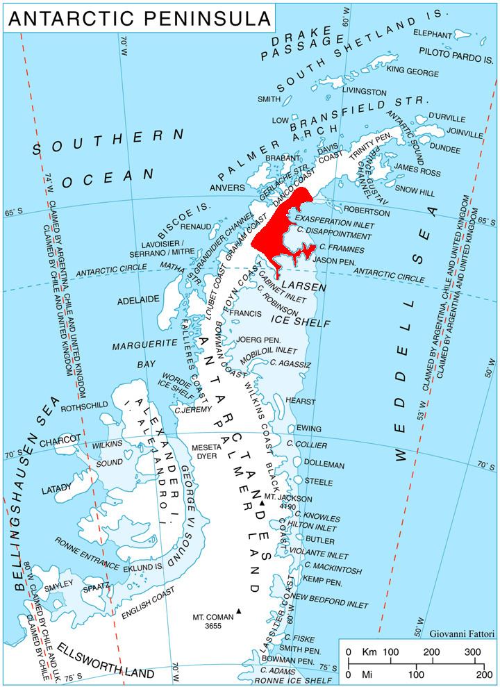
Tatarchev Nunatak is located at 64°53′47″S 61°34′13″W, which is 3.65 km south of Mount Quandary, 5.75 km northwest of Reselets Peak, and 9.9 km east of Sekirna Spur. British mapping in 1978.
Maps
References
Tatarchev Nunatak Wikipedia(Text) CC BY-SA