
 | ||
Sekirna Spur (Bulgarian: връх Секирна, ‘Vrah Sekirna’ \'vr&h se-'kir-na) is the rocky, partly ice-free peak rising to 600 m at the southeast extremity of Zagreus Ridge on Oscar II Coast in Graham Land. It surmounts Hektoria Glacier to the northeast and southeast, and Paspal Glacier and Green Glacier to the west and south. The feature is named after the settlements of Gorna (Upper) and Dolna (Lower) Sekirna in Western Bulgaria.
Contents
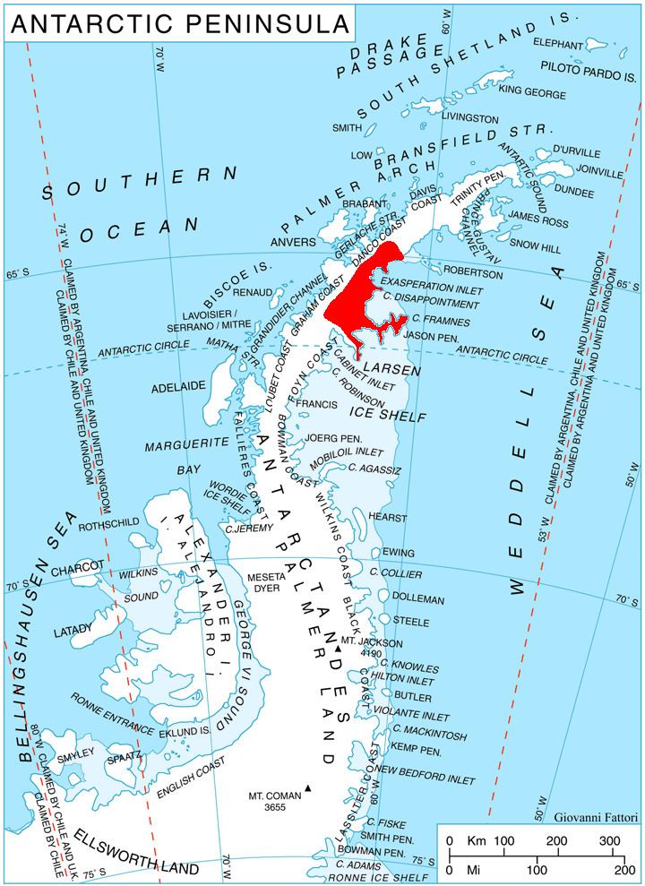
Map of Sekirna Spur, Antarctica
Location
Sekirna Spur is located at 64°54′00″S 61°46′47″W, which is 3.05 km south-southeast of Govedare Peak, 10.43 km west-southwest of Mount Quandary, and 10.5 km north of Pirne Peak. British mapping in 1978.
Maps
References
Sekirna Spur Wikipedia(Text) CC BY-SA