
Rural localities 28 Area 9,923 km² | selsoviet 8 Founded 4 April 1924 | |
 | ||
Municipally incorporated as | ||
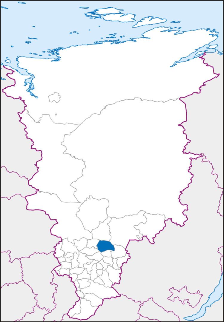
Taseyevsky District (Russian: Тасе́евский райо́н) is an administrative and municipal district (raion), one of the forty-three in Krasnoyarsk Krai, Russia. It is located in the south of the krai and borders with Motyginsky and Boguchansky Districts in the north, Abansky District in the east, Dzerzhinsky District in the southeast, Sukhobuzimsky District in the south, and with Bolshemurtinsky and Kazachinsky Districts in the west. The area of the district is 9,923 square kilometers (3,831 sq mi). Its administrative center is the rural locality (a selo) of Taseyevo. Population: 13,255 (2010 Census); 15,275 (2002 Census); 18,707 (1989 Census). The population of Taseyevo accounts for 60.6% of the district's total population.
Contents
- Map of Taseyevsky District Krasnoyarsk Krai Russia
- Geography
- History
- Divisions and government
- References
Map of Taseyevsky District, Krasnoyarsk Krai, Russia
Geography
The district is located on the Taseyeva River.
History
The district was founded on April 4, 1924.
Divisions and government
As of 2013, the Head of the District and the Chairman of the District Council is Oleg A. Nikanorov.