
Coat of arms Flag selsoviet 8 Area 3,610 km² | Administrative center selo of Dzerzhinskoye Rural localities 34 Founded 7 December 1934 | |
 | ||
Dzerzhinsky District (Russian: Дзержи́нский райо́н) is an administrative and municipal district (raion), one of the forty-three in Krasnoyarsk Krai, Russia. It is located in the southeast of the krai and borders with Taseyevsky District in the north, Abansky District in the east, Kansky District in the south, and with Sukhobuzimsky District in the west. The area of the district is 3,569 square kilometers (1,378 sq mi). Its administrative center is the rural locality (a selo) of Dzerzhinskoye. Population: 14,552 (2010 Census); 17,028 (2002 Census); 20,485 (1989 Census). The population of Dzerzhinskoye accounts for 50.7% of the district's total population.
Contents
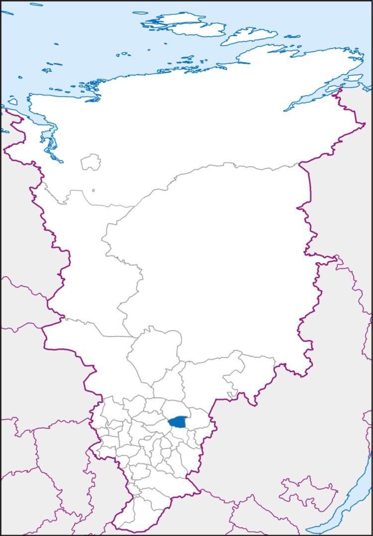
- Map of Dzerzhinsky District Krasnoyarsk Krai Russia
- Geography
- History
- Government
- Transportation
- References
Map of Dzerzhinsky District, Krasnoyarsk Krai, Russia
Geography
The district is situated in the Kan River basin.
History
The district was founded on December 7, 1934.
Government
The Head of the District and the Chairman of the District Council is Dmitry N. Ashayev.
Transportation
The Trans-Siberian Railway runs through the district.