
Country Australia | Area 1,500 km² Mouth elevation 0 | |
 | ||
- right Stony Creek (Victoria), Bridge Creek (Victoria) - location near the locality of Dollar Similar Anderson Inlet, Wongungarra River, Glenmaggie Dam, Cumberland River, Steavenson River | ||
The Tarwin River is a perennial river of the West Gippsland catchment, located in the South Gippsland region of the Australian state of Victoria. The Tarwin River is the primary river system within South Gippsland Shire and has a catchment area of approximately 1,500 square kilometres (580 sq mi), predominantly rural with small pockets of residential land use. It flows south from the Strzlecki Ranges and discharges in the eastern reaches of Anderson Inlet, a shallow estuary connected to Bass Strait.
Contents
Map of Tarwin River, Victoria, Australia
Course and features
Formed by the confluence of the Tarwin River East Branch that drains the southwestern slopes of the Strzlecki Ranges from an elevation of 253 metres (830 ft) AHD and the Tarwin River West Branch that drains the southern slopes of the Strzlecki Ranges from a northerly point at an elevation of 91 metres (299 ft) AHD , the Tarwin River rises near the locale of Tarwin, west of Meeniyan.
The east branch of the river rises below the locale of Dollar, then heads north through Tarwin East and on to Mirboo North before heading south through a valley, breaking out on to cleared farmland north of Dumbalk where the river is up to 12 metres (39 ft) wide with slow flowing water when not in flood; and then continues south. The west branch of the river rises as a number of tributaries on the southern slopes of the Strzelecki Ranges at the south of Mount Worth State Park. The western branch of the river flows through mostly steep, cleared farmlands, fed by six minor tributaries as it flows south, east of Leongatha and towards Meeniyan, generally through flat and rolling farmland.
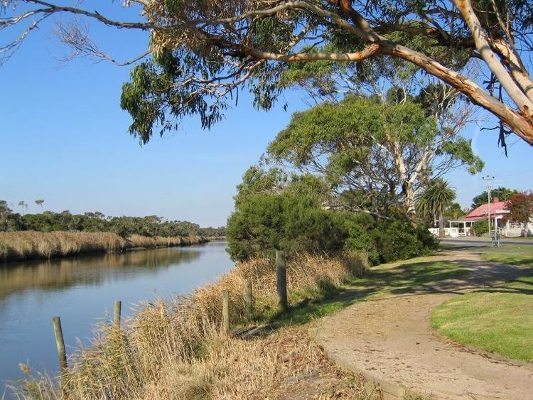
The two branches then form as the Tarwin River, and flows generally south and then west by south, joined by two minor tributaries, through flat open river flats, passing around Tarwin Lower, flooding many local roads and then flowing into an extensive estuary and reaching its river mouth, emptying into Andersons Inlet, that flows into Bass Strait, near the township of Venus Bay. The lower reaches of the Tarwin River can be affected by tidal influences. From its highest elevation including the east and west branches of the river, the Tarwin River descends 253 metres (830 ft) over its combined 82-kilometre (51 mi) course.
Etymology
In the Australian Aboriginal Boonwurrung language the river is given two names, Tarwin, meaning "thirsty"; and Toulerm, meaning "gum".
The river was named from an Aboriginal word darwhin.