
Area 2,336 km² | Website www.tarrantcounty.com Founded 1849 Population 1.912 million (2013) | |
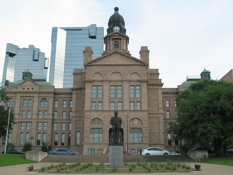 | ||
Points of interest Fort Worth Water Gardens Colleges and Universities Tarrant County College, Texas Christian University, University of Texas at Arlington, Texas Wesleyan University, University of North Texas He Destinations | ||
Tarrant County is a county in the U.S. state of Texas. As of the 2010 census, it had a population of 1,809,034. It is Texas' third-most populous county and the sixteenth-most populous in the United States. Its county seat is Fort Worth.
Contents
- Map of Tarrant County TX USA
- Geography
- Adjacent counties
- Demographics
- Government and infrastructure
- Civil and Family Courts
- Criminal Courts
- Lower Courts
- Politics
- Primary and secondary schools
- Independent school districts
- Charter schools
- Private schools
- Major highways
- Airports
- Census designated places
- Historical census designated places
- Ghost towns
- Notes
- References
Map of Tarrant County, TX, USA
Tarrant County, one of 26 counties created out of the Peters Colony, was established in 1849 and organized the next year. The county was named in honor of General Edward H. Tarrant of the Republic of Texas militia.
Tarrant County is part of the Dallas–Fort Worth–Arlington, TX Metropolitan Statistical Area.
Geography
According to the U.S. Census Bureau, the county has an area of 902 square miles (2,340 km2), of which 864 square miles (2,240 km2) is land and 39 square miles (100 km2) (4.3%) is water.
Adjacent counties
Demographics
As of the census of 2000, there were 1,446,219 people, 533,864 households, and 369,433 families residing in the county. The population density was 1,675 people per square mile (647/km²). There were 565,830 housing units at an average density of 655 per square mile (253/km²). The racial makeup of the county was 71.23% White, 12.80% Black or African American, 0.57% Native American, 3.64% Asian, 0.16% Pacific Islander, 9.09% from other races, and 2.51% from two or more races. 19.73% of the population were Hispanic or Latino of any race.
There were 533,864 households out of which 36.80% had children under the age of 18 living with them, 52.60% were married couples living together, 12.20% had a female householder with no husband present, and 30.80% were non-families. 24.90% of all households were made up of individuals and 5.90% had someone living alone who was 65 years of age or older. The average household size was 2.67 and the average family size was 3.22. As of the 2010 census, there were about 5.2 same-sex couples per 1,000 households in the county.
In the county, the population was spread out with 28.10% under the age of 18, 10.00% from 18 to 24, 33.50% from 25 to 44, 20.10% from 45 to 64, and 8.30% who were 65 years of age or older. The median age was 32 years. For every 100 females there were 98.10 males. For every 100 females age 18 and over, there were 95.60 males.
The median income for a household in the county was $46,179, and the median income for a family was $54,068. Males had a median income of $38,486 versus $28,672 for females. The per capita income for the county was $22,548. About 8.00% of families and 10.60% of the population were below the poverty line, including 13.80% of those under age 18 and 8.70% of those age 65 or over.
Government and infrastructure
The JPS Health Network (Tarrant County Hospital District) operates the John Peter Smith Hospital and health centers.
Countywide law enforcement is provided by the Tarrant County Sheriff's Office and Tarrant County Constable's Office. All cities in the county provide their own police services, with three exceptions: Westlake contracts service from the Keller Police Department, and Haslet and Edgecliff Village contracts service from the Sheriff's Office. DFW Airport, the Tarrant County Hospital District, and the Tarrant Regional Water District also provide their own police forces.
Since the disbandment of the North Tarrant County Fire Department, no countywide firefighting services exist; all municipalities provide their own fire departments. Most cities also operate their own ambulances, with Fort Worth being a notable exception - the city contracts paramedic apparatus from private entity Medstar. CareFlite air ambulance services operate from Harris Methodist Hospital in Fort Worth.
Civil and Family Courts
Eleven civil courts serve Tarrant County: the 17th, 48th, 67th, 96th, 141st, 153rd, 236th, 342nd, 348th, and 352nd District Courts, as well as three County Courts at Law. Seven family courts also serve the county: the 231st, 233rd, 322nd, 323rd, 324th, 325th, and 360th District Courts. These courts, along with related services, are based at the Tarrant County Civil Courts Building, located in downtown Fort Worth.
Criminal Courts
There are twenty criminal courts in Tarrant County, including six state-level criminal courts: the 213th, 297th, 371st, 372nd, 396th, and 432nd District Courts, all of which are located at the Tim Curry Criminal Justice Center in Fort Worth. The county also operates ten County Criminal Courts and four Criminal District Courts.
Lower Courts
Tarrant County is divided into eight precincts, each served by a Justice of the Peace (JP). JP Courts in Tarrant County are located in: Fort Worth (Pcts. 1, 5, 6, 8), Arlington (Pct. 2), Southlake (Pct. 3), Lake Worth (Pct. 4), and Mansfield (Pct. 7).
Two Magistrate Courts operate from the Tim Curry Criminal Justice Center in Fort Worth. The courts are located in the building's basement so that inmates from the nearby Tarrant County Corrections Center may be transported between the two buildings more securely.
Three County Courts at Law and two Probate Courts operate in the Old Tarrant County Courthouse as well as the Justice of the Peace Precinct One.
Politics
Since the late 20th century, majority-white residents of Tarrant County have supported Republican Party presidential candidates. Since 1960 the majority of voters supported the Republican presidential candidate in every election except 1964, when the county voted for Democrat Lyndon Johnson, a Texas native.
The two Texas State Senators serving from Tarrant County are Senator Konni Burton (R - Colleyville), succeeding Wendy Davis (D - Fort Worth) in 2015, and Kelly Hancock (R - Fort Worth). The first Republican elected to the State Senate from Tarrant County since Reconstruction was Betty Andujar in 1973. Minorities had been disenfranchised by laws passed by white Democrats at the turn of the century. Disfranchisement continued until after passage of national civil rights legislation in the mid-1960s.
In Arlington all three of the Texas House of Representatives districts were won by Republicans in 2010. In District 94, Diane Patrick was unseated in the Republican primary held on March 4, 2014 by Tony Tinderholt, who had no general election opposition. In District 96, Bill Zedler was renominated on March 4; he had served from 2003 to 2009 and since 2011. Since 2001, Republican Charlie Geren has represented Fort Worth in the state House, first in District 89 and since 2003 in District 99.
Major political parties:
Primary and secondary schools
Public schools in Texas are organized into Independent School Districts and charter schools. Tarrant County is also home to dozens of private high schools and nearly 100 lower-level private schools.
Independent school districts
Charter schools
Private schools
Major highways
Bus. US 287
Airports
Dallas/Fort Worth International Airport is partially in the cities of Grapevine and Euless in Tarrant County and Irving in Dallas County.
Fort Worth Alliance Airport is a city-owned public-use airport located 14 miles (23 km) north of the central business district of Fort Worth on Interstate-35W. Billed as the world's first purely industrial airport, it was developed in a joint venture between the City of Fort Worth, the Federal Aviation Administration and Hillwood Development Company, a real estate development company owned by H. Ross Perot, Jr. Alliance Airport has 9600 ' and 8200 ' runways.
Fort Worth Meacham International Airport is located at the intersection of Interstate 820 and U.S. Business Highway 287 in northwest Fort Worth, 5 miles from the downtown business district. Meacham International Airport has two parallel runways and a crosswind runway.
Fort Worth Spinks Airport is located 14 miles south of the downtown business district. The airport is located at the intersection of Interstate-35W and HWY 1187 and serves as a reliever airport for Fort Worth Meacham International Airport and Dallas-Fort Worth International Airport.